
Country United States GNIS feature ID 453099 Population 9,431 (2010) Area code 574 | FIPS code 18-03754 Elevation 233 m Local time Tuesday 8:24 AM | |
 | ||
Weather 8°C, Wind S at 19 km/h, 90% Humidity Area 38.88 km² (38.05 km² Land / 83 ha Water) | ||
Baugo Township is one of sixteen townships in Elkhart County, Indiana. As of the 2010 census, its population was 9,431.
Contents
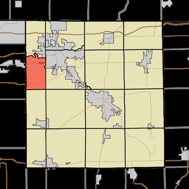
- Map of Baugo Township IN USA
- History
- Geography
- Cities and towns
- Adjacent townships
- Major highways
- Cemeteries
- References
Map of Baugo Township, IN, USA
History
Baugo Township was named from the Baugo Creek, which is derived from the Indian name Baubaugo, meaning "devil river".
Geography
According to the 2010 census, the township has a total area of 15.01 square miles (38.9 km2), of which 14.69 square miles (38.0 km2) (or 97.87%) is land and 0.32 square miles (0.83 km2) (or 2.13%) is water.
Cities and towns
Adjacent townships
Major highways
Cemeteries
The township contains two cemeteries: Noffsinger and Saint Vincent Depaul.
References
Baugo Township, Elkhart County, Indiana Wikipedia(Text) CC BY-SA