
Country United States Elevation 219 m | GNIS feature ID 453759 Local time Friday 9:47 AM | |
 | ||
ZIP codes 46556, 46601, 46613, 46614, 46615, 46616, 46617, 46619, 46628, 46629 Weather 13°C, Wind SW at 26 km/h, 67% Humidity Points of interest Studebaker National Museum, Potawatomi Zoo, South Bend Museum, Basilica of the Sacred Heart - No, Snite Museum of Art | ||
Portage Township is one of thirteen townships in St. Joseph County, in the U.S. state of Indiana. As of the 2000 census, its population was 94,916.
Contents
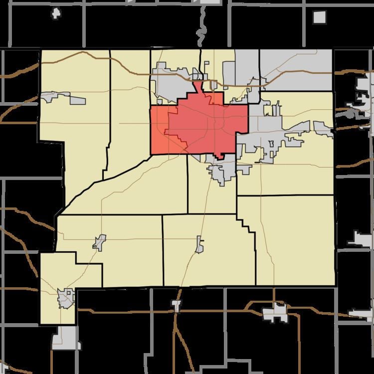
- Map of Portage Township IN USA
- Geography
- Cities towns villages
- Unincorporated towns
- Adjacent townships
- Cemeteries
- Major highways
- Airports and landing strips
- Lakes
- Landmarks
- School districts
- Political districts
- References
Map of Portage Township, IN, USA
Geography
According to the United States Census Bureau, Portage Township covers an area of 34.8 square miles (90 km2); of this, 34.36 square miles (89.0 km2) (98.71 percent) is land and 0.45 square miles (1.2 km2) (1.28 percent) is water.
Cities, towns, villages
Unincorporated towns
(This list is based on USGS data and may include former settlements.)
Adjacent townships
Cemeteries
The township contains these five cemeteries: Bowman, Cedar Grove, Hungarian Sacred Heart, Riverview and Saint Josephs.
Major highways
Airports and landing strips
Lakes
Landmarks
School districts
Political districts
References
Portage Township, St. Joseph County, Indiana Wikipedia(Text) CC BY-SA