
Country United States GNIS feature ID 453376 Area 54.69 km² Local time Friday 2:07 AM | ZIP codes 46530, 46545, 46561 Elevation 243 m Population 19,873 (2000) | |
 | ||
Weather -3°C, Wind SE at 8 km/h, 65% Humidity University Ross Medical Education Center | ||
Harris Township is one of thirteen townships in St. Joseph County, in the U.S. state of Indiana. As of the 2000 census, its population was 19,873.
Contents
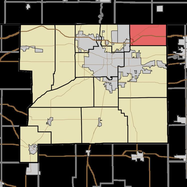
- Map of Harris Township IN USA
- Geography
- Cities towns villages
- CDPs
- Cemeteries
- Major highways
- Airports and landing strips
- School districts
- Political districts
- References
Map of Harris Township, IN, USA
Harris Township was organized in 1836. The township was named after the Harris family, a local family of pioneer settlers.
Geography
According to the United States Census Bureau, Harris Township covers an area of 21.12 square miles (54.7 km2), all land.
Cities, towns, villages
CDPs
Cemeteries
The township contains Harris Prairie Cemetery on Adams Road, and Salem Cemetery near Ash and Brummitt Roads.
Major highways
Airports and landing strips
School districts
Political districts
References
Harris Township, St. Joseph County, Indiana Wikipedia(Text) CC BY-SA