Supriya Ghosh (Editor)

Parnamirim, Pernambuco

Updated on
Edit
Like
Comment
Share on FacebookTweet on TwitterShare on LinkedInShare on Reddit
Area
  
2,608 km²

Parnamirim, Pernambuco httpsmw2googlecommwpanoramiophotosmedium

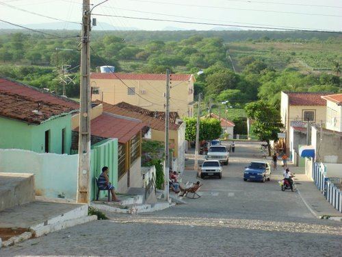
Parnamirim is a city in the state of Pernambuco, Brazil. The population in 2009, according with IBGE was 19.850 and the area is 2608.07 km². It is also, the start point of BR 232, one important federal highway.

Contents

Map of Parnamirim - State of Pernambuco, Brazil

Geography

  • State - Pernambuco
  • Region - Sertão Pernambucano
  • Boundaries - Granito, Serrita and Bodocó (N); Santa Maria da Boa Vista and Orocó (S); Terra Nova and Cabrobó (E); Ouricuri and Santa Cruz (W)
  • Area - 2.608.07 km²
  • Elevation - 392 m
  • Hidrography - Brigida and Terra Nova rivers
  • Vegetation - Caatinga Hiperxerófila
  • Clima - semi arid - hot and dry
  • Annual average temperature - 26.0 c
  • Distance to Recife - 554 km
  • Economy

    The main economic activities in Parnamirim are based in commerce and agribusiness, especially creation of goats, cattle, sheeps, pigs, chickens; and plantations of onions, beans and water melons.

    Economic Indicators

    Economy by Sector 2006

    References

    Parnamirim, Pernambuco Wikipedia