
Area 2,423 km² | ||
 | ||
Clara nunes ouricuri segredos do sertanejo
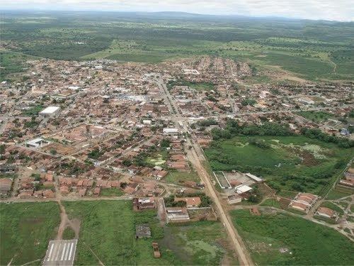
Ouricuri is a city in the state of Pernambuco, Brazil. It is located in the mesoregion of Sertão Pernambucano. Ouricuri has a total area of 2,423 square kilometers and had an estimated population of 66,978 inhabitants in 2009 according to the IBGE.
Contents
- Clara nunes ouricuri segredos do sertanejo
- Map of Ouricuri State of Pernambuco Brazil
- Viajando todo o brasil ouricuri pe especial
- Geography
- Economy
- Economic Indicators
- References
Map of Ouricuri, State of Pernambuco, Brazil
Viajando todo o brasil ouricuri pe especial
Geography
Economy
The main economic activities in Ouricuri are based in extraction of gypsum and no metallic minerals, and primary sector especially creation of goats, donkeys, pigs and farms with beans, manioc and corn. Ouricuri is located in the micro region of Araripina which contains 95% of the Brazilian reserves of Gypsum.
Economic Indicators
Economy by Sector 2006
References
Ouricuri Wikipedia(Text) CC BY-SA