
 | ||
Parangalitsa Peak (Bulgarian: връх Парангалица, ‘Vrah Parangalitsa’ \'vr&h pa-ran-'ga-li-tsa) is the rocky peak rising to 2700 m to form the south extremity of Veregava Ridge on the east side of Sentinel Range in Ellsworth Mountains, Antarctica. It is surmounting Dater Glacier to the west and its tributary Hansen Glacier to the east.
Contents
Map of Parangalitsa Peak, Antarctica
The feature is named after Parangalitsa Nature Reserve in Rila Mountain, Bulgaria.
Location
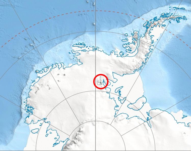
Parangalitsa Peak is located at 78°29′27″S 85°00′25″W, which is 4 km southwest of Mount Waldron, 3.2 km west-northwest of Mount Tuck from which it is separated by Manole Pass, and 6.7 km east of Vanand Peak. US mapping in 1988.
Maps
References
Parangalitsa Peak Wikipedia(Text) CC BY-SA