
 | ||
People also search for Mount Anderson, Mount Farrell, Mount Tyree | ||
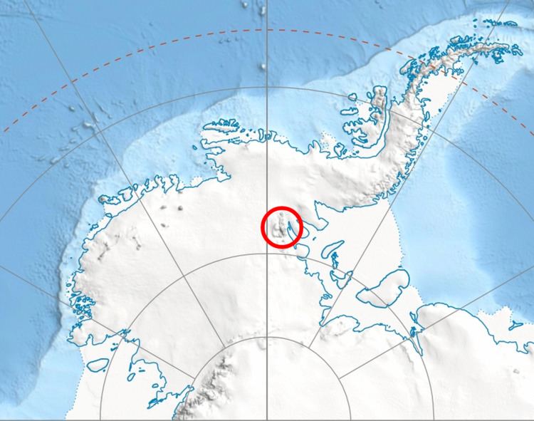
Mount Waldron is a mountain (3,100 m) in Antarctica, the summit of Veregava Ridge in the Sentinel Range of Ellsworth Mountains. It is situated 3 nautical miles (6 km) north of Mount Tuck, and surmounts Dater Glacier to the west, Orizari Glacier to the north, Berisad Glacier to the northeast, and Hansen Glacier to the southeast.
Contents
Map of Mount Waldron, Antarctica
The mountain was discovered by U.S. Navy Squadron VX-6 on photographic flights of December 14–15, 1959, and was mapped from these photos by the United States Geological Survey (USGS). It was named by the Advisory Committee on Antarctic Names (US-ACAN) for Kenneth L. Waldron, a construction electrician in the U.S. Navy and a member of the IGY South Pole Station winter party of 1957.
Maps
This article incorporates public domain material from the United States Geological Survey document "Mount Waldron" (content from the Geographic Names Information System).