
 | ||
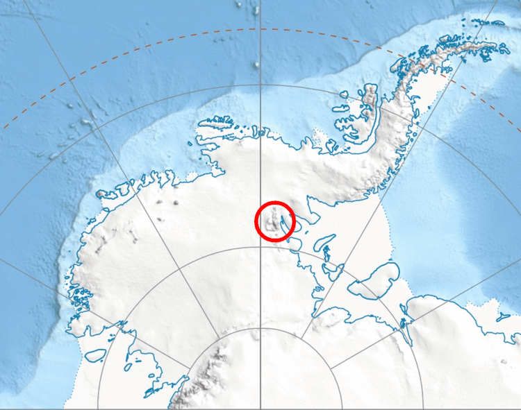
Hansen Glacier (78°21′S 84°33′W) is a tributary glacier 10 nautical miles (19 km) long, flowing northeast from Mount Tuck between Veregava Ridge and Doyran Heights to join Dater Glacier west of Dickey Peak, in the Sentinel Range of the Ellsworth Mountains in Antarctica. It was first mapped by the United States Geological Survey from surveys and U.S. Navy air photos, 1957–59, and was named by the Advisory Committee on Antarctic Names for Herbert L. Hansen, a meteorologist at South Pole Station in 1957.
Contents
Map of Hansen Glacier, Antarctica
Maps
References
Hansen Glacier Wikipedia(Text) CC BY-SA