
 | ||
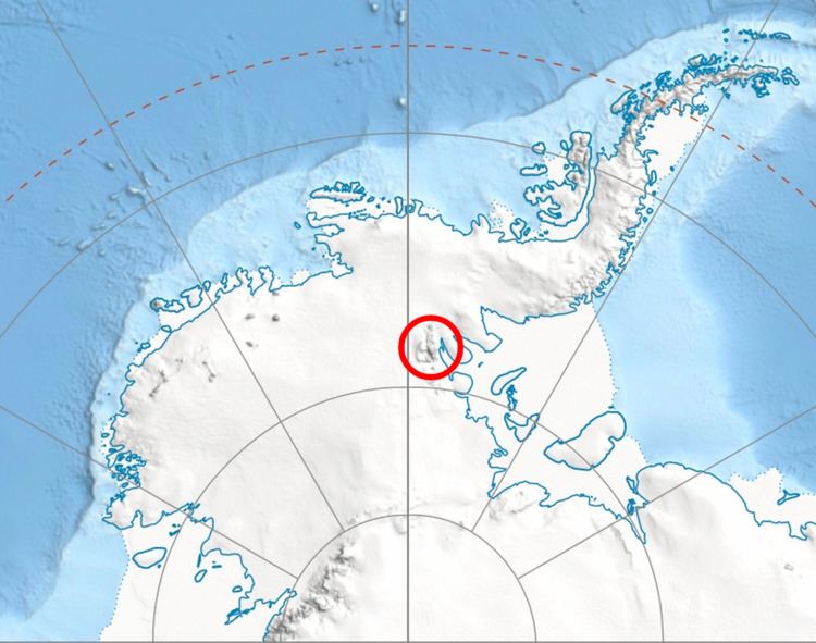
Manole Pass (Bulgarian: проход Маноле, ‘Prohod Manole’ \'pro-hod ma-'no-le) is the ice-covered saddle of elevation 2,350 metres (7,710 ft) separating Veregava Ridge from Doyran Heights in the east foothills of Vinson Massif in Sentinel Range, Ellsworth Mountains in Antarctica. It is part of the glacial divide between the upper courses of Dater Glacier to the southwest and its tributary Hansen Glacier to the northeast.
Contents
The saddle is named after the settlement of Manole in Southern Bulgaria.
Location
Manole Pass is centred at 78°30′12″S 84°58′21″W, which is 14.53 kilometres (9.03 mi) east-northeast of Mount Vinson, 7.8 kilometres (4.8 mi) east-southeast of Vanand Peak, 1.6 kilometres (0.99 mi) southeast of Parangalitsa Peak, 5 kilometres (3.1 mi) south by west of Mount Waldron, 2.08 kilometres (1.29 mi) west of Mount Tuck and 3.7 kilometres (2.3 mi) north of Prosenik Peak. US mapping in 1961, updated in 1988.