Trisha Shetty (Editor)

Paranatama

Updated on
Edit
Like
Comment
Share on FacebookTweet on TwitterShare on LinkedInShare on Reddit
Area
  
231 km²

Paranatama mw2googlecommwpanoramiophotosmedium64511626jpg

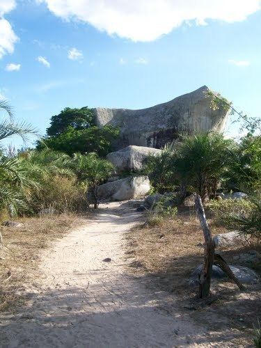
Paranatama is a municipality/city in the state of Pernambuco in Brazil. The population in 2009 was 12.441 and the total area is 230.88 km2.

Contents

Map of Paranatama - State of Pernambuco, Brazil

Geography

  • State - Pernambuco
  • Region - Agreste of Pernambuco
  • Boundaries - Caetés (N); Saloá (S); Garanhuns (E); Pedra (W).
  • Area - 230.88 km2
  • Elevation - 879 m
  • Hidrography - Mundaú River
  • Vegetation - Caatinga hipoxerófila
  • Clima - Transition between tropical hot and humid and, semi arid hot
  • Annual average temperature - 20.8 c
  • Distance to Recife - 192 km
  • Economy

    The main economic activities in Paranatama are related with agribusiness, especially creations of cattle, goats, pigs, sheeps, chickens; and plantations of beans, manioc, coffee and corn.

    Economic Indicators

    Economy by Sector 2006

    References

    Paranatama Wikipedia