
Area 323 km² | ||
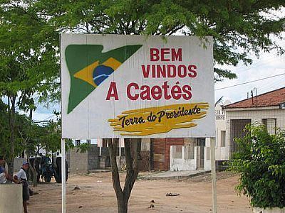 | ||
Caetés ([kɐ.eˈtɛs], [ka.ɛˈtɛs], Caaetes) is a Brazilian municipality located within the state of Pernambuco, in northeastern Brazil. The city belongs to the mesoregion of Agreste Pernambucano and microregion of Garanhuns. It is the birthplace of former president of Brazil Luiz Inácio Lula da Silva. The name originates from the indigenous Caetés people who lived in Pernambuco in the 16th century.
Contents
Map of Caet%C3%A9s - State of Pernambuco, Brazil
Geography
Economy
The main economic activities in Caetés are based in general commerce and the primary sector, which employs around 83% of the local workforce. The main products are especially manioc, beans, cattle and milk.
Economic Indicators
Economy by Sector 2006
References
Caetés, Pernambuco Wikipedia(Text) CC BY-SA