
District Pondicherry Local time Wednesday 8:42 AM | State Puducherry Taluk Bahour Time zone IST (UTC+5:30) Area code 0413 | |
 | ||
Weather 28°C, Wind SW at 0 km/h, 84% Humidity | ||
Pannithittu (Tamil: பனித்திட்டு) is a village in Bahour Commune of Bahour taluk in the Union Territory of Puducherry, India. It lies east of NH-45A at a distance of 2 km from it. River Malattar joins Bay of Bengal at Pannithittu.
Contents
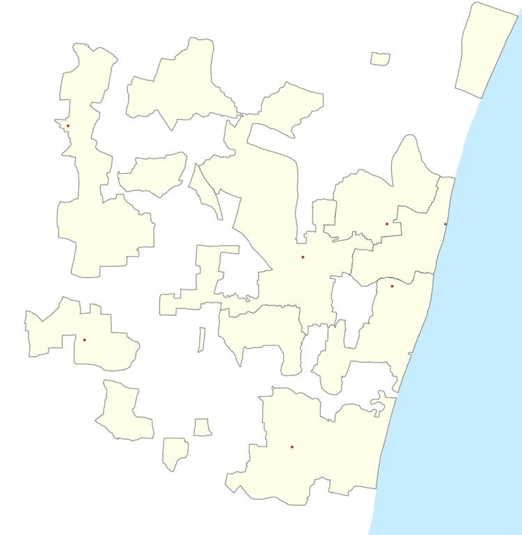
Map of Panithittu, Puducherry
Geography
Pannithittu is bordered by Kirumampakkam in the west, Malattar in the north, Bay of Bengal in east and Pillaiyarkuppam in the south.
Villages
Following are the villages under Pannithittu Village Panchayat.
Road network
Pannithittu is connected to Puducherry by NH45A - Kirumampakkam road. Also Pannithittu is connected to Pudukuppam via. Pillaiyarkuppam, Bahour and Manappattu. There is also an access road from Reddichavadi via Pannithittu Regulator.
Politics
Pannithittu is a part of Embalam (Union Territory Assembly constituency) which comes under Puducherry (Lok Sabha constituency)