
District Pondicherry Local time Monday 12:41 AM | State Puducherry Time zone IST (UTC+5:30) Area code 0413 | |
 | ||
Weather 28°C, Wind SE at 3 km/h, 87% Humidity | ||
Manappattu (Tamil: மணப்பட்டு) is a village in Bahour Commune of Bahour taluk in the Union Territory of Puducherry, India. It lies east of NH-45A at a distance of 2 km from it.
Contents
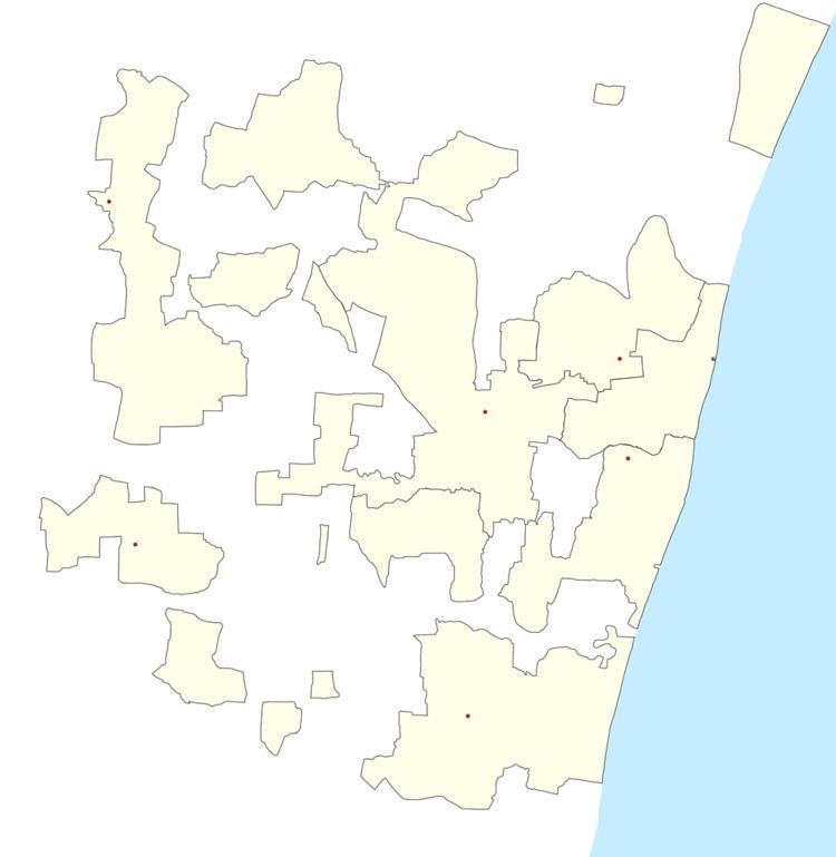
- Map of Manapet Puducherry 607402
- Manappattu chira lake malayattoor kurishumudi vanibathadam malayattur international pilgrim centre
- Geography
- Villages
- Road Network
- Politics
- References
Map of Manapet, Puducherry 607402
Manappattu chira lake malayattoor kurishumudi vanibathadam malayattur international pilgrim centre
Geography
Manappattu is bordered by Bahour in the west, Pillaiyarkuppam in the north, Bay of Bengal in east and Krishnavaram, Pudukuppam in the south.
Villages
Following are the list of villages under Manappattu Village Panchayat.
Road Network
Manappattu is connected by Kanniakoil - Manappattu road. Also Pannithittu - Pudukuppam road connects Manappattu.
Politics
Manappattu is a part of Bahour (Union Territory Assembly constituency) which comes under Puducherry (Lok Sabha constituency)
References
Manappattu Wikipedia(Text) CC BY-SA