
Local time Wednesday 11:42 PM | State Puducherry Time zone IST (UTC+5:30) Area code 0413 | |
 | ||
Weather 27°C, Wind E at 5 km/h, 83% Humidity Colleges and Universities Aarupadai Veedu Medical College, Rajiv Gandhi College of Engineering and Technology | ||
Kirumampakkam (Tamil: கிருமாம்பாக்கம்) is a village in Bahour Commune of Bahour taluk in the Union Territory of Puducherry, India. It lies on Cuddalore road (NH-45A) at a distance of 15 km from Puducherry.
Contents
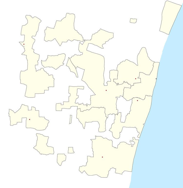
Map of Kirumampakkam, Puducherry 607402
Geography
Kirumampakkam is bordered by Nagappanur village of Tamil nadu in the west, Madalapattu village of Tamil nadu in the north, Pannithittu in east and Pillaiyarkuppam in the south.
Road Network
Kirumampakkam is connected to Puducherry by Cuddalore road (NH-45A). Also Kirumampakkam-Bahour road (RC-27) connects Kirumampakkam with Bahour, its Commune Headquarters. Kirumampakkam provides gateway to Nagappanur village of Tamil nadu.
Politics
Kirumampakkam is a part of Embalam (Union Territory Assembly constituency) which comes under Puducherry (Lok Sabha constituency)
References
Kirumampakkam Wikipedia(Text) CC BY-SA