 | ||
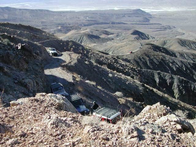
Defense mine trail in panamint valley
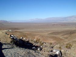
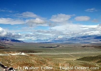
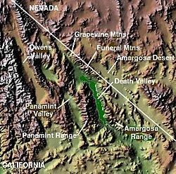
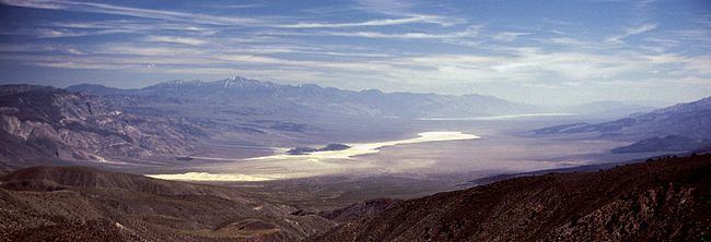
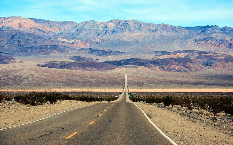
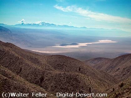
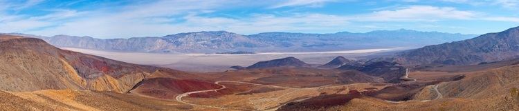
The Panamint Valley is a long basin located east of the Argus Range and Slate Range, and west of the Panamint Range in the northeastern reach of the Mojave Desert, in eastern California, United States.
Contents
- Defense mine trail in panamint valley
- Death panamint valley ballarat ghost town curator interview a great desert rat character
- Geography
- Features
- Military use
- References
Death panamint valley ballarat ghost town curator interview a great desert rat character
Geography
The northern end of the valley is in Death Valley National Park and Inyo County, California. The valley lies in a north-south direction, and stretches from the Panamint Dunes in the north to the Naval Air Weapons Station China Lake in San Bernardino County in the south. The valley is approximately 65 miles (105 km) in length, and is more than 10 miles (16 km) wide in the Hall Canyon area.
Features
Military use
The airspace over Panamint Valley is part of the U.S. military's vast R-2508 Special Use Airspace Complex [1]. The Panamint Military Operating Area (MOA) covers the entire valley north to Hunter Mountain from 200 ft AGL up to FL180 with an Air Traffic Control Assigned Airspace (ATCAA) located above the same area from FL180 up to FL600. The airspace is primarily used by military aircraft from Nellis AFB, Edwards AFB, NAWS China Lake, and NAS Lemoore for high and low altitude mission training. Military aircraft utilize radio communications on 291.6 MHz or 120.25 MHz while operating in the Panamint MOA; however, military aircraft throughout the R-2508 complex often use 315.9 MHz when conducting low altitude operations below 1500 ft AGL.