
Elevation 1,583 m | Country United States of America | |
 | ||
Topo map USGS Pilot Knob Valley West Similar Searles Lake, Owlshead Mountains, Avawatz Mountains, El Paso Mountains, Goler Washington Road | ||
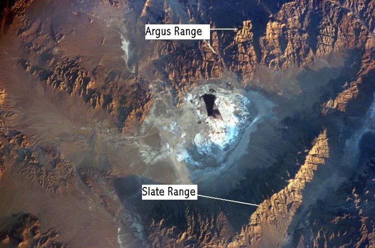
The Slate Range is located in the Mojave Desert in San Bernardino County, California, southwest of Death Valley and east of Trona.
Map of Slate Range, California, USA
The mountains lie to the east of Searles Lake and the Argus Range at the southern end of the Panamint Range. The southern part of the range lies in the Naval Air Weapons Station China Lake, which is off-limit to the general public. Manly Pass lies at the northern end of the Slate Range, with Layton Pass at the southern end.
References
Slate Range (California) Wikipedia(Text) CC BY-SA