Time zone IST (UTC+5:30) Population 14,286 (2011) | Demonym(s) Palamkar Elevation 384 m | |
 | ||
Palam is the taluka in Parbhani district of Maharashtra state of India.
Contents
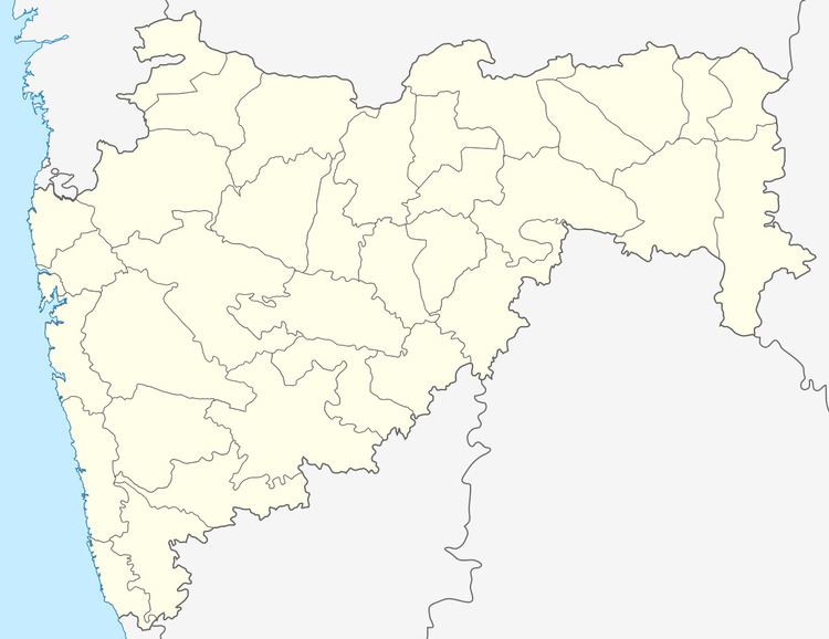
Map of Palam, Maharashtra 431720
Demography
Government data shows that 100% people of Palam taluka lives in rural area as Palam is categorized as 100% rural area, though it is a taluka head quarter. The Palam town has population of 14,286 of which 7,335 are males while 6,951 are females as per Population Census 2011.
Average Sex Ratio of Palam is 948 which is higher than Maharashtra state average of 929.
Palam has lower literacy rate compared to Maharashtra. In 2011, literacy rate of Palam village was 76.30 % compared to 82.34 % of Maharashtra. In Palam Male literacy stands at 84.33 % while female literacy rate was 67.96 %.
Schedule Caste (SC) constitutes 13.36 % while Schedule Tribe (ST) were 1.84 % of total population in Palam village.
Transport
Palam is located 38 km (24 mi) towards south from district head quarters Parbhani.
Loha 21 km (13 mi) , Purna 23 km (14 mi) , Gangakhed 24 km (15 mi) , Nanded 60 km (37 mi) are the other nearby Cities to Palam which have connectivity via road.
Nearest railway stations to Palam are Gangakhed and Purna.
Government and Politics
Palam comes under Parbhani (Lok Sabha constituency) for Indian general elections and current member of Parliament representing this constituency is Sanjay Haribhau Jadhav of Shiv Sena.
Palam comes under Gangakhed (Vidhan Sabha constituency) for assembly elections of Maharashtra. Current representative from this constituency in Maharashtra state assembly is Madhusudan Kendre of Nationalist Congress Party.
