
Country United States County Warrick ZIP code 47637 Elevation 140 m | State Indiana Area code(s) 812 Local time Monday 8:43 PM | |
 | ||
Weather 2°C, Wind N at 10 km/h, 93% Humidity | ||
Folsomville is an unincorporated community in Owen Township, Warrick County, in the U.S. state of Indiana.
Contents
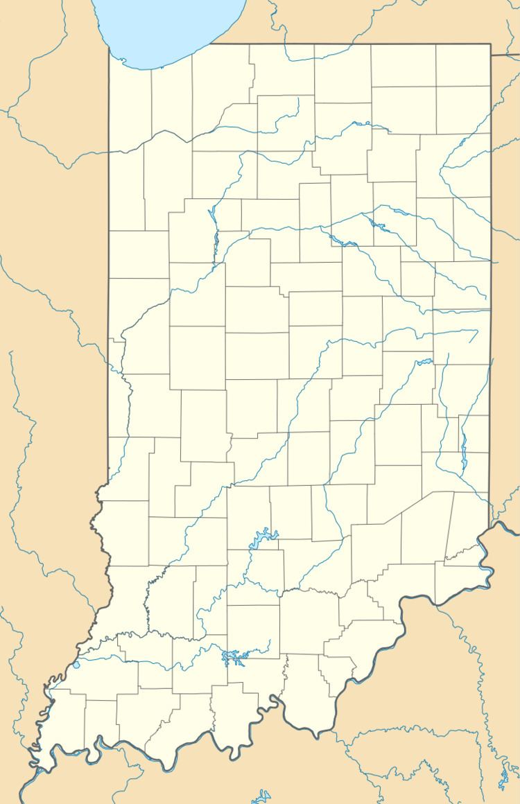
Map of Folsomville, IN 47601, USA
History
Folsomville was laid out in 1859 by Benjamin Folsom, and named for him. A post office has been in operation at Folsomville since 1863. Folsomville used to have the nickname "Lick Skillet."
Geography
Folsomville is located at 38°07′45″N 87°09′51″W.
References
Folsomville, Indiana Wikipedia(Text) CC BY-SA