
Area 141 km² | ||
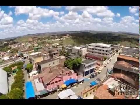 | ||
Orobó is a municipality/city in the state of Pernambuco in Brazil. The population in 2009 was 22.239 inhabitants and the total area is 140.78 km2. The city has the best children's mortality rate of the state (2.9) and one of the best in the whole country.
Contents
Map of Orob%C3%B3, State of Pernambuco, Brazil
Geography
Economy
The main economic activities in Orobó are related with commerce and agribusiness, especially creations of cattle, goats, pigs, chickens; and plantations of bananas and sugarcane.
Economic Indicators
Economy by Sector 2006
References
Orobó Wikipedia(Text) CC BY-SA