
Country Brazil Time zone BRT (UTC-3) Local time Tuesday 5:00 AM | Elevation 419 m (1,375 ft) Area 110 km² | |
 | ||
Weather 22°C, Wind S at 6 km/h, 100% Humidity | ||
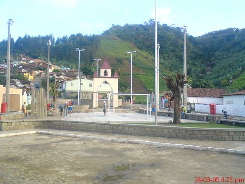
São Vicente Ferrer is a Brazilian municipality in the state of Pernambuco. According with IBGE in 2009, has an estimated population of 17,333 inhabitants. It has a total area of 110.49 square kilometres (42.66 sq mi).
Contents
- Map of SC3A3o Vicente Ferrer State of Pernambuco Brazil
- Geography
- Economy
- Economic Indicators
- References
Map of S%C3%A3o Vicente Ferrer - State of Pernambuco, Brazil
Geography
Economy
The main economic activities in São Vicente Ferrer are related with commerce and agribusiness, especially creations of cattle; and plantations of bananas, grapes and sugarcane.
Economic Indicators
Economy by Sector 2006
References
São Vicente Ferrer, Pernambuco Wikipedia(Text) CC BY-SA