
Region Agreste Area 56.96 km² | Elevation 320 m (1,050 ft) | |
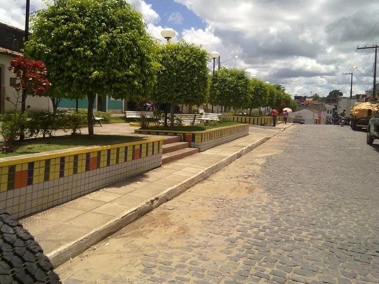 | ||
Machados (population 11.802) is a city in northeastern Brazil, in the State of Pernambuco. It lies in the mesoregion of Agreste of Pernambuco and has an area of 56.96 square kilometres (21.99 square miles). It is the largest producer of bananas of the state, with over than 21.000 ton.
Contents
- Map of Machados State of Pernambuco Brazil
- Geography
- Economy
- Economic Indicators
- Twin towns Sister cities
- References
Map of Machados - State of Pernambuco, Brazil
Geography
Economy
The main economic activities in Machados are related with commerce and agribusiness, especially bananas, sugarcane and cattle.
Economic Indicators
Economy by Sector (2006)
Twin towns — Sister cities
Machados is twinned with:
References
Machados Wikipedia(Text) CC BY-SA