
Existed: 1935 – present Length 38.3 km | Constructed 1935 | |
 | ||
North end: OR 138 near Diamond Lake | ||
Oregon route 230 the most beautiful highway under 25 miles
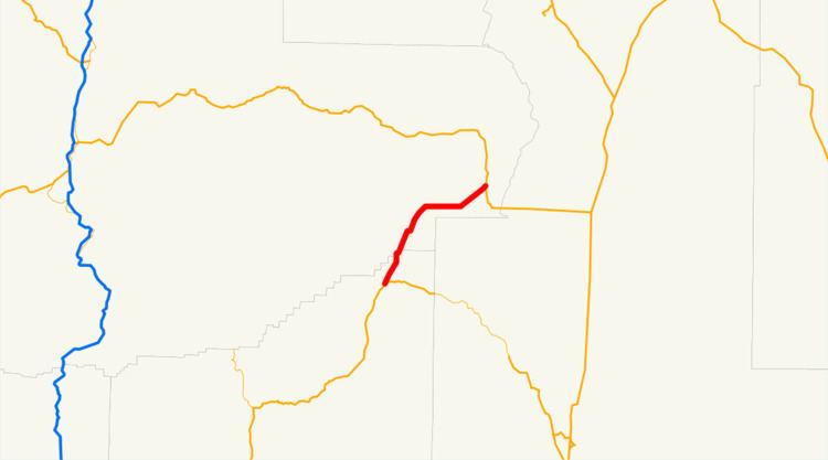
Oregon Route 230 is an Oregon state highway which runs along the western edge of Crater Lake National Park, in rural Douglas County, Oregon. It is known as the West Diamond Lake Highway No. 233 (see Oregon highways and routes), and is 24 miles (39 km) long.
Contents
- Oregon route 230 the most beautiful highway under 25 miles
- Map of OR 230 Prospect OR 97536 USA
- Route description
- Intersections with other highways
- References
Map of OR-230, Prospect, OR 97536, USA
Route description
OR 230 begins, at its southern (or "western") terminus, at an intersection with Oregon Route 62 near Union Creek. It heads north, skirting along the western edge of the park. The highway terminates at an intersection with Oregon Route 138 just south of Diamond Lake.
The highway does not provide any access to Crater Lake National Park directly; however, the park can be accessed via either OR 62 (all year) or OR 138 (during the summer, when the North Entrance to the park is open).
Intersections with other highways
References
Oregon Route 230 Wikipedia(Text) CC BY-SA