
Length 95 km Source elevation 650 m | Basin area 562 km² Country Australia | |
 | ||
Basin size 562 square kilometres (217 sq mi) Mouths Port Noarlunga, Port Noarlunga South, South Australia | ||
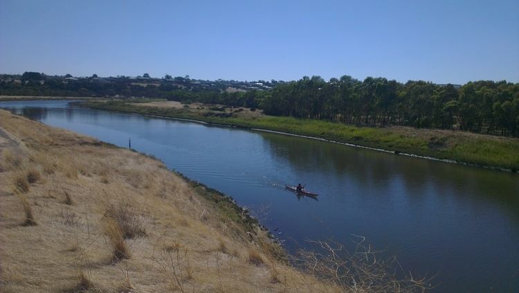
Mulloway jewfish 85cm kayak fishing onkaparinga river
The Onkaparinga River / Ngangiparri is a river located in South Australia south of the Adelaide city centre. It runs from its source between Mount Torrens and Charleston in the Mount Lofty Ranges, and flows south westerly to an estuary at Port Noarlunga.
Contents
- Mulloway jewfish 85cm kayak fishing onkaparinga river
- Map of Onkaparinga River Port Noarlunga SA Australia
- Kid catching a bream fishing in the onkaparinga river sa
- References
Map of Onkaparinga River, Port Noarlunga SA, Australia
The catchment is over 500 square kilometres (190 sq mi) in area, and in part includes the following protected areas - the Encounter Marine Park, the Onkaparinga River National Park, the Onkaparinga River Recreation Park and the Port Noarlunga Reef Aquatic Reserve.
The Onkaparinga River is the second major river within the Adelaide metropolitan area, after the River Torrens. The name derives from the Indigenous Kaurna name Ngangiparri which translates as 'The Women's River'.
In 1837 Surveyor General Col William Light named it Field's River, or the Field River, after Lieut William George Field RN (1804-1850) of the brig Rapid, who carried out the first surveys in the vicinity of its estuary, but subsequent Governor George Gawler soon reinstated the Indigenous name. The first Europeans to explore its sources and the Onkaparinga Valley were the party of Dr. George Imlay and John Hill in January 1838.
It is a source of fresh water for Adelaide. Mount Bold Reservoir was constructed between 1932 and 1938 along a section of its path approximately 20 kilometres (12 mi) inland. Much of its flow is diverted via a tunnel from the Clarendon Weir to the Happy Valley Reservoir, that in turn supplies some 40 per cent of Adelaide's water supply. Most years the flow to the reservoir is supplemented by water pumped from the River Murray via a pipeline from Murray Bridge.
Downstream from Mount Bold Reservoir is the Clarendon Weir. To maintain levels at Clarendon Weir, water is released only as required. The Onkaparinga Gorge extends from Clarendon to Old Noarlunga. An estuary extends from Old Noarlunga to the river's mouth between the suburbs of Port Noarlunga and Port Noarlunga South. The estuary is a significant breeding area for local marine fish species.
The Coast to Vines rail trail crosses over the river just west of where Main South Road crosses over. The Seaford railway line passes over the river on a 1.2 km (0.75 mi) elevated bridge (known as the Onkaparinga Valley Bridge) which was built between 2011 and 2014.