
Rural localities 4 Founded 1935 | rural okrug 4 Area 317,976 km² | |
 | ||
Municipally incorporated as | ||
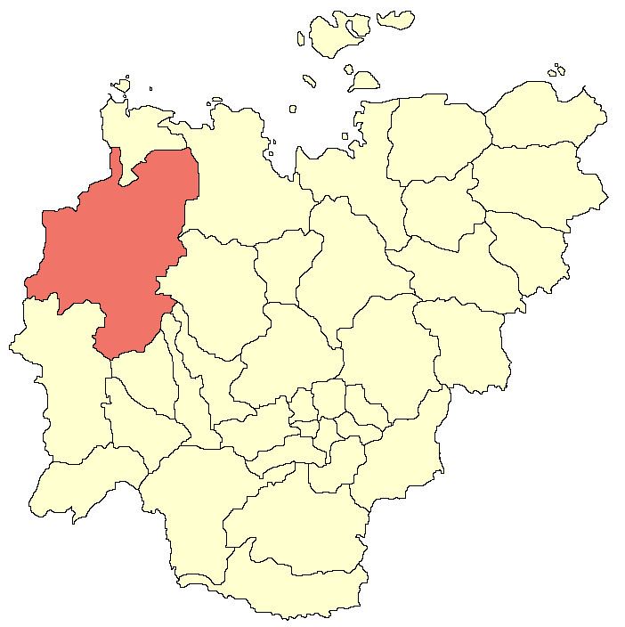
Olenyoksky District (Russian: Оленёкский улу́с; Yakut: Өлөөн улууһа, Ölöön uluuha, [øløːn uluːha]) is an administrative and municipal district (raion, or ulus), one of the thirty-four in the Sakha Republic, Russia. It is located in the west of the republic and borders with Anabarsky District in the north, Bulunsky and Zhigansky Districts in the east, Vilyuysky, Verkhnevilyuysky, and Nyurbinsky Districts in the southeast, Mirninsky District in the south and southwest, and with Krasnoyarsk Krai in the west and northwest. The area of the district is 318,000 square kilometers (123,000 sq mi). Its administrative center is the rural locality (a selo) of Olenyok. Population: 4,127 (2010 Census); 4,091 (2002 Census); 3,993 (1989 Census). The population of Olenyok accounts for 55.1% of the district's total population.
Contents
- Map of Olenekskiy Natsionalnyy u Sakha Republic Russia
- Geography
- History
- Demographics
- Economy
- Inhabited localities
- References
Map of Olenekskiy Natsionalnyy u., Sakha Republic, Russia
Geography
The main rivers in the district are the Olenyok and the Anabar. The largest lake is Lake Eyik.
Average January temperature ranges from −36 to −40 °C (−33 to −40 °F) and average July temperature ranges from +12 to +14 °C (54 to 57 °F).
History
The district was established on October 1, 1935.
Demographics
As of the 1989 Census, the ethnic composition was as follows:
Economy
The economy of the district is mostly based on agriculture. There are deposits of diamonds, natural gas, and construction materials.
Inhabited localities
Divisional source:
Population source:
*Administrative centers are shown in bold