
Length 302 km Source Hainaut | Discharge 110 m³/s Mouth Seine Bridges Pont de Compiegne | |
 | ||
Main source Hainaut309 m (1,014 ft) Basin size 17,000 km (6,600 sq mi) Similar Aisne, Marne, Moselle, Saône, Garonne | ||
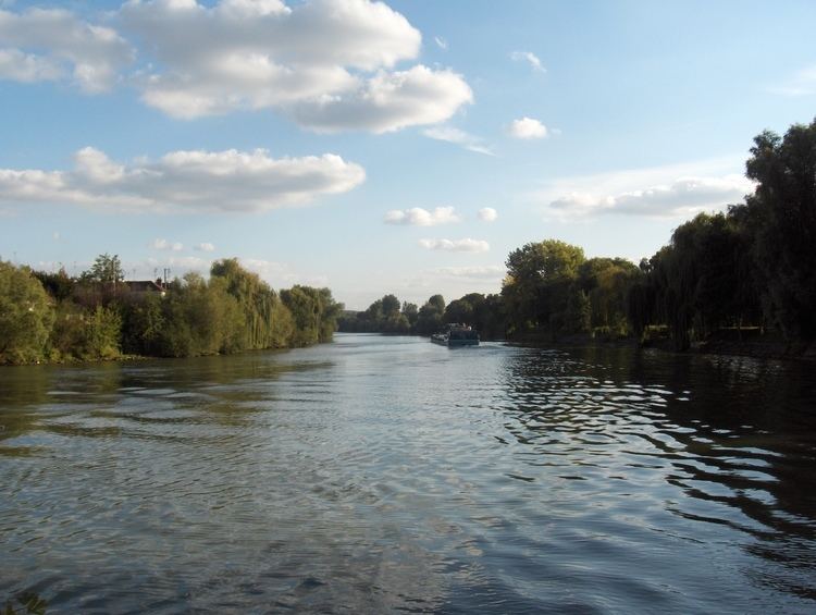
The Oise ([waz]) is a river of Belgium and France, flowing for 341 kilometres (212 mi) from its source in the Belgian province of Hainaut, south of Chimay. It crosses the border with France after about 20 kilometres (12 mi). It flows into the Seine at Conflans-Sainte-Honorine, a north-western suburb of Paris. Its main tributary is the Aisne. It gave its name to the French departments of Oise and Val-d'Oise.
Contents
- Map of Oise France
- Places along the riverEdit
- NavigationEdit
- TributariesEdit
- Right bankEdit
- Left bankEdit
- References
Map of Oise, France
Places along the riverEdit
In France, the Oise flows through the following departments and towns:
NavigationEdit
Over the past few centuries, the Oise has played an important role as an inland shipping waterway connecting the Seine (and thus Paris) with the coastal regions of northern France, Belgium, and the Netherlands. With the projected construction of the Seine–Nord Europe Canal, a high-capacity water transportation system currently in development, the Oise will be linked at Janville, north of Compiègne, with the high-capacity Canal Dunkerque-Escaut, east of Arleux. The Seine-Nord Europe Canal will replace the old Canal de Saint-Quentin and the current Canal du Nord, the capacity of which is far below standard. When the new Seine-Nord connection is complete, it will allow large vessels to transport goods from the Seine, and thus Paris and its surrounding area, to the ports of Dunkerque, Antwerp and Rotterdam.
TributariesEdit
Tributaries include