
Existed: 1937 – present Constructed 1937 | Length 13.16 km | |
 | ||
Counties | ||
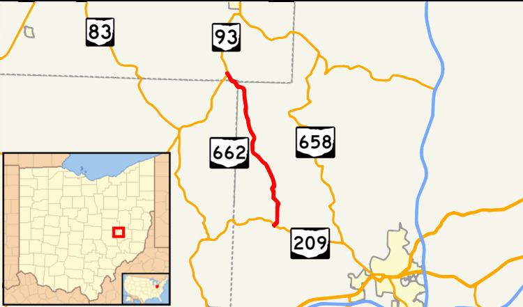
State Route 662 (SR 662, OH 662) is a north–south state highway in the central part of Ohio, a U.S. state. The southern terminus of the route is at a T-intersection with State Route 209 nearly 5.50 miles (8.85 km) northwest of the city of Cambridge. Its northern terminus is also at a T-intersection, this time with State Route 93 approximately 3.50 miles (5.63 km) south of the village of Plainfield.
Contents
Map of OH-662, Ohio, USA
Route description
Along its way, State Route 662 passes through western Guernsey County, extreme northeastern Muskingum County and southeastern Coshocton County. The route is not a part of the National Highway System, a network of highways deemed most important for the nation's economy, mobility and defense.
History
State Route 662 was established in 1937 along the alignment that it currently occupies. It has not experienced any major changes to its routing since its inception.