
 | ||
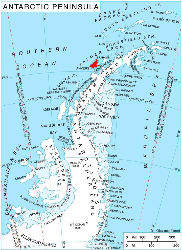
Obitel Peninsula (Bulgarian: полуостров Обител, ‘Poluostrov Obitel’ po-lu-'os-trov o-'bi-tel) is the mostly ice-covered peninsula wide 6.9 km and indenting for 6.6 km northwestwards between Hamburg Bay and Perrier Bay on the northwest coast of Anvers Island in the Palmer Archipelago, Antarctica. It ends up in Bonnier Point to the west and Giard Point to the north.
Contents
The peninsula is named after the settlement of Obitel in Northeastern Bulgaria.
Location
Obitel Peninsula is centred at 64°28′20″S 63°50′00″W. British mapping in 1980.
Maps
References
Obitel Peninsula Wikipedia(Text) CC BY-SA