
 | ||
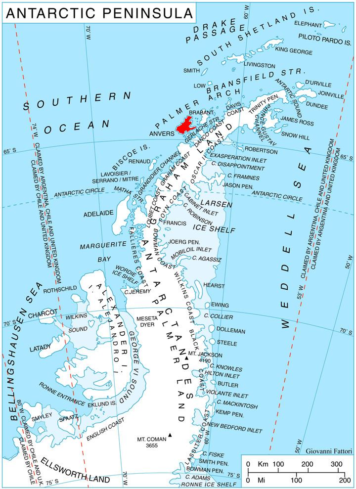
Giard Point (64°26′S 63°49′W) is a point forming the north extremity of Obitel Peninsula and the south side of the entrance to Perrier Bay, on the northwest coast of Anvers Island in the Palmer Archipelago, Antarctica. It was first charted by the French Antarctic Expedition, 1903–05, and named by Jean-Baptiste Charcot for Alfred Giard, a noted French zoologist and member of the Institut de France.
Maps
References
Giard Point Wikipedia(Text) CC BY-SA