
Country United States FIPS code 32-52200 Elevation 1,789 m Zip code 89835 Local time Tuesday 5:55 PM | Time zone Pacific (PST) (UTC-8) GNIS feature ID 845590 Area 231 ha Population 29 (2010) | |
 | ||
Weather 14°C, Wind SW at 18 km/h, 41% Humidity | ||
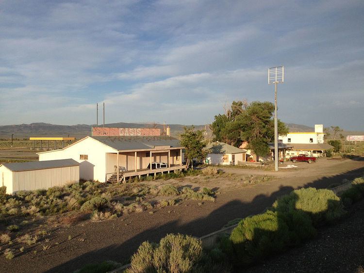
Oasis is an unincorporated community and census-designated place (CDP) located in eastern Elko County, Nevada, United States, at the junction of State Route 233 and Interstate 80, 31 miles (50 km) northwest of the Utah border and 77 miles (124 km) east of Elko. As of the 2010 census it had a population of 29. Oasis is a high desert community located in the Goshute Valley between the Pequop Mountains and the Toano Range at an elevation of approximately 5,870 feet (1,790 m).
Contents
Map of Oasis, NV 89830, USA
The community is part of the Elko Micropolitan Statistical Area.
State offices
References
Oasis, Nevada Wikipedia(Text) CC BY-SA