
Time zone Sri Lanka (UTC+05:30) | Population 731,415 (2013) ISO 3166 code Sri Lanka | |
 | ||
Divisions ListDivisional Secretariats: 5Grama Niladhari: 491 Website ds.gov.lk/dist_nuwaraeliya Area 1,741 km² (1,706 km² Land / 35 km² Water) Points of interest Hakgala Botanical Garden, Pidurutalagala, Galway's Land National, Devon Falls, St Clairs Falls Destinations | ||
Nuwara Eliya District (Tamil: நுவரேலியா மாவட்டம், Sinhalese: නුවරඑළිය දිස්ත්රික්කය) is a district in Central Province, Sri Lanka, centered on the tourist city of Nuwara Eliya.
Contents
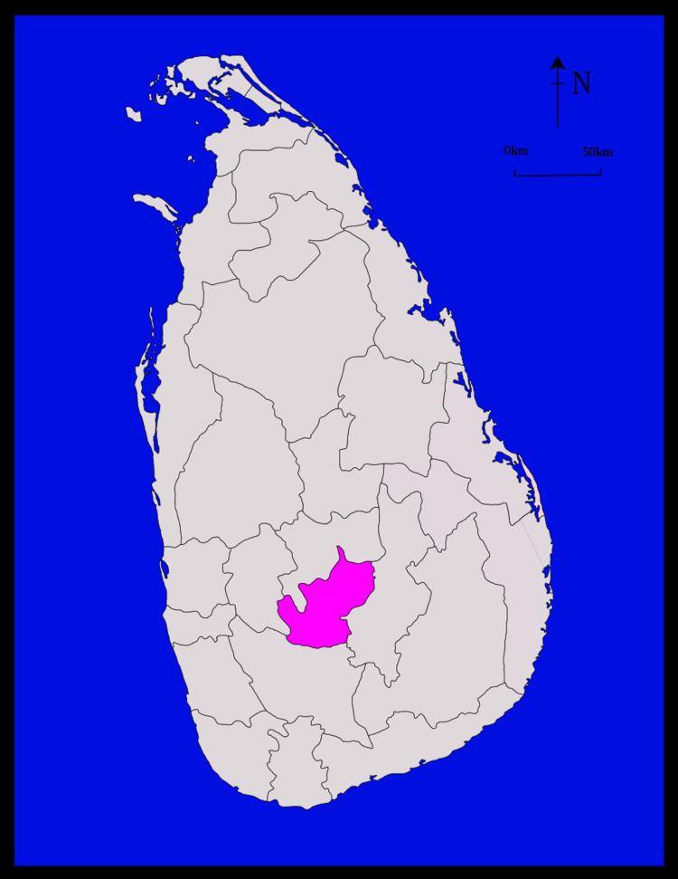
Map of Nuwara Eliya, Sri Lanka
Demographics
The population according to 2001 census is 703,610 of which 50.61% Tamils of Indian origin, 40.2% are Sinhalese, 6.5% native Sri Lankan Tamils and 2.4% Sri Lankan Moors. In terms of religion,51.0% of the population are Hindu, 39.7.0 % Buddhists, 5% Roman Catholics, 2.7% Muslims and 1.5% belong to non-catholic Christian denominations.
Geography
Nuwara Eliya district is located in the hill country of Central Province. The terrain is generally mountainous, with deep valleys.
Cities
Towns
Schools
Poramadulla Central College is located in the Rikillagaskada community in Hanguranketha.
References
Nuwara Eliya District Wikipedia(Text) CC BY-SA