
Population 15,073 (2012) | Local time Saturday 7:50 AM | |
 | ||
Time zone Sri Lanka Standard Time Zone (UTC+5:30) Weather 18°C, Wind E at 3 km/h, 59% Humidity | ||
Hatton sri lanka s beautiful tea country
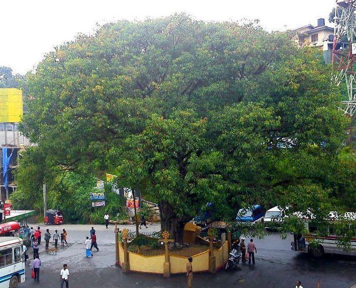
Hatton (Sinhalese: හැටන්, Tamil: ஹற்றன்) is a town in the Nuwara Eliya District of Central Province, Sri Lanka governed by the Hatton-Dickoya Urban Council. It is approximately 83 kilometres (52 mi) southeast of Colombo and 44 km (27 mi) south of Kandy and is situated at an elevation of 1,271 m (4,170 ft) above sea level. Hatton was founded during the British colonial times in order to serve the coffee and latter tea estates. The name of the town refers to the village in Aberdeenshire, Scotland. A number of the surrounding tea estates are also named after Scottish villages.
Contents
- Hatton sri lanka s beautiful tea country
- Map of Hatton Sri Lanka
- The peakrest hotel hatton sri lanka
- Transport
- Demographics
- Attractions
- Education
- Post and telephone
- References
Map of Hatton, Sri Lanka
Whilst Hatton serves as a gateway to Adam's Peak (Sri Pada) and Sinharaja Forest Reserve, it is better known for its Ceylon tea plantations and industry.
The Hatton National Bank and Brown & Co. Ltd. were both founded in Hatton.
In 2008 part of the Hatton town, including religious places, was gazetted as a Religious Zone by the Government of Sri Lanka.
The peakrest hotel hatton sri lanka
Transport
The Hatton Railway Station is located on the Main Line (Colombo-Badulla) railway line and on the A7 highway (Avissawella-Nuwara Eliya) a part of the Avissawella-Nuwara Eliya main road.
Demographics
The Indian Tamils who live in this area have contributed immensely to Sri Lankan economy as tea estate workers.