
Country Sri Lanka Province Central Province | District Nuwara Eliya District | |
 | ||
Time zone Sri Lanka Standard Time (UTC+5:30) | ||
Hapugasthalawa is a rural city of Nuwara-Eliya District, Sri Lanka. Hapugasthalawa is located 52 7 kilometres west of the Nuwara-Eliya town in Divisional Secretariat Division of the Kothmale.
Contents
- Map of Hapugastalawa Sri Lanka
- Geography
- Commercial area
- Transport
- Landmarks
- Schools
- Buddhist Temples
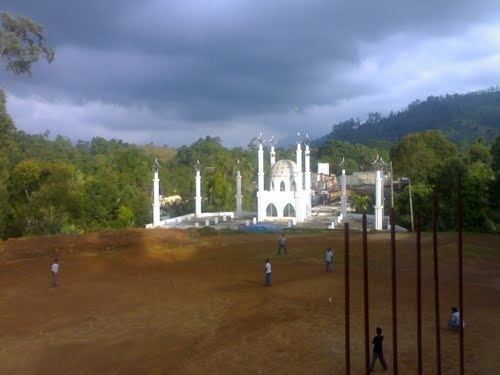
- Masjidhs
- Arabic College
- CitiesTowns And Small Towns
- References
Map of Hapugastalawa, Sri Lanka
Geography
Hapugasthalawa is located at the edge of the Kothmale Vally with the villages of Halgolla, Harangala, Ruwanpura and Gorakaoya. To the East and South East Hapugasthalawa is bounded Halgolla Village which shares the same postcode of 20668. The suburb is predominantly residential with the main shopping area of Hapugasthalawa centred between Kothmale, Nawalapitiya Gorakaoya and Gampola roads around the city centre.
Commercial area
The Hapugasthalawa commercial area is located near the small lake. The city is organized with speciality stores, supermarkets and many restaurants run by Muslim retailers. The ethnic background of its shoppers has created a hub of Muslim restaurants and eateries in the area.
Transport
Hapugasthalawa is relatively well served by public transport. Numerous bus services operate from the small interchange. These include the 720 route between Nawalapitiya and Nuwara-Eliya.