
 | ||
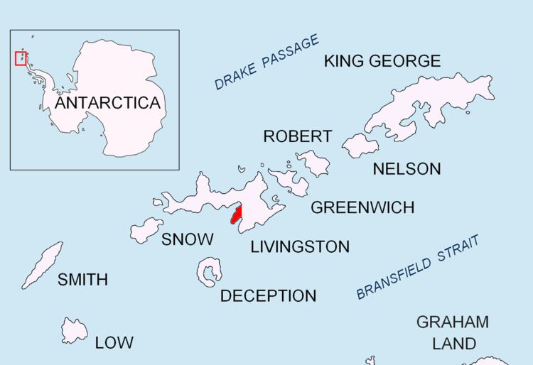
Nusha Hill (Bulgarian: Нушин хълм, ‘Nushin Halm’ \'nu-shin 'h&lm) is the rocky hill rising to 251 m in southern Hurd Peninsula on Livingston Island in the South Shetland Islands, Antarctica. It has precipitous east, south and west slopes, and is linked to Doc Peak (301 m) to the north by a col of elevation 220 m. Nusha Hill surmounts a rock glacier to the southwest, False Bay to the east and its sub-embayment Glaciar Rocoso Cove to the south-southwest. The adjacent area, subject to geological and glaciological field work, is accessible by sea or by an overland route running from Hurd Ice Cap along the South Bay coast facing Sally Rocks and via a saddle of elevation 122 m situated 800 m west by south of the hill.
Contents
The feature is named after Nusha Ivanova (b. 1986), participant in the 2002/03 and subsequent Bulgarian Antarctic campaigns (the first Bulgarian high school student involved).
Location
Nusha Hill is located at 62°42′32.5″S 60°24′06″W, which is 1.5 km northeast of Binn Peak, 400 m south of Doc Peak, 450 m south-southwest of Castro Peak, and 4.51 km west-northwest of Canetti Peak on Rozhen Peninsula. British mapping of the area in 1968, Bulgarian in 2005 and 2009, and detailed Spanish mapping in 1991.