
Basin area 64,491 km² | - elevation 3,253 ft (992 m) - elevation 1,043 ft (318 m) Length 729 km Country United States of America | |
 | ||
Bridges Republican River Pegram Truss, Franklin Bridge | ||
Republican river retreat private lake cabin riverfront acreage cloud county kansas
The Republican River is a river in the central Great Plains of North America, rising in the High Plains of eastern Colorado and flowing east 453 miles (729 km) through the U.S. states of Nebraska and Kansas.
Contents
- Republican river retreat private lake cabin riverfront acreage cloud county kansas
- Map of Republican River Kansas USA
- Republican river conspiracy
- GeographyEdit
- HistoryEdit
- Republican River CompactEdit
- July 1902Edit
- MayJune 1935Edit
- References
Map of Republican River, Kansas, USA
Republican river conspiracy
GeographyEdit
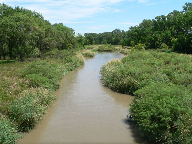
The Republican River is formed by the confluence of the North Fork Republican River and the Arikaree River just north of Haigler in Dundy County, Nebraska. It joins with the South Fork Republican River immediately southeast of Benkelman, Nebraska. All three tributaries originate in the High Plains of northeastern Colorado. From the confluence, the river flows generally eastward along the southern border of Nebraska, passing through Swanson Reservoir and Harlan County Reservoir before curving southward into the Smoky Hills region of Kansas. The Republican River joins the Smoky Hill River at Junction City, Kansas to form the Kansas River.
Some cities along the river are McCook, Nebraska, Clay Center, Kansas, Concordia, Kansas and Junction City, Kansas. Near Concordia is the Republican River Pegram Truss, a bridge that goes over the Republican River that is listed on the National Register of Historic Places.
HistoryEdit
The river was named after a branch of Pawnee Indians known as "the Republicans."
As early as 1785, the Spanish and French had identified one of the villages of the Pawnee people as aldea de la Republica (little village of the Republic). A French traders' custom was to name rivers for the tribal villages located on their banks. In this way, the north fork of the Kansas River was named Forche des Republiques or Republican Fork.
The Kitkehahkis Pawnee villages farmed corn, beans, and pumpkin in the fertile Republican valley floor but seasonally left to hunt buffalo in the plains to the west and south.
The Kitkehahkis, or Republican Pawnee, occasionally abandoned and relocated various villages along the Republican River. In 1806, first the Spanish and then the Americans journeyed to the large Kitkehahkis village on Republican River, then near present Guide Rock, Nebraska. Both parties were seeking the tribe's assistance in enforcing competing claims to the Louisiana Territory. Leading the much smaller American expedition, Lieutenant Zebulon Pike convinced the Kitkehahkis to accept the American Flag in place of the Spanish (Main article: Pike-Pawnee Village Site).
In 1853, Fort Riley was established at the junction of the Republican with the Smoky Hill and Kansas Rivers. American settlement of the lower Republican River in began in the 1860s.
Prior to 1864, the Kansas River was publicly navigable under Kansas law. A side-wheel steamboat of 125 tons burden, Financier No. 2, reached the Republican River in 1855 and ascended it some 40 miles. However, in 1864, railroad interests passed a bill through the Kansas Legislature entitled, "An act declaring the Kansas, Republican, Smoky Hill, Solomon, and Big Blue rivers not navigable, and authorizing the bridging of the same." Railroads were thus permitted to bridge or dam the Republican as if it were never declared navigable.
The Kansas Pacific Railway reached the fork of the Republican in 1866, crossing into the Junction City town site. The Junction City and Fort Kearney Railroad was constructed up the valley of the Republican to Clay Center in 1873.
The 1864 law was repealed in 1913; however, under Kansas Law, public access, whether for transport or recreation, is permitted only on publicly owned rivers. The State of Kansas owns only the Kansas and Arkansas Rivers as well as the portion of the Missouri River adjoining the northeastern corner of the state. As such, the limit of public river access is at the mouth of the Republican River. A public boat access ramp was opened on the mouth of the Republican River in 2009 just upstream of the railroad bridge, providing access to the upper end of the Kansas River National Water Trail, a part of the National Water Trail program.
Milford Lake, the largest man-made lake in Kansas, was completed on the Republican in 1967.
Republican River CompactEdit
Allocation of the water from the Republican River is governed through an agreement called the Republican River Compact, involving the states of Nebraska, Kansas and Colorado, as modified by the settlement of a United States Supreme Court case involving a water-use dispute under the Compact.
July 1902Edit
On July 9, 1902, the river flooded near Concordia, Kansas, breaking a dam and re-routing the river by a quarter-mile (about half a kilometer).
May/June 1935Edit
The storm of May 31 and June 1, 1935, (called "Nebraska's Deadliest Flood") dumped an average rainfall of 9 inches (230 mm) on the river's watershed. This storm was also unique in that it moved in the same direction as the drainage basin. As a result, the Frenchman, Red Willow, Medicine, Deer, Muddy, and Turkey creeks all reached their flood peaks at the same time as the crest passed on the Republican River.
According to witness accounts, the roar of the water could be heard coming down the Republican Valley 5 miles (8 km) away. Many survivors also reported that there were two crests - the water came up on May 28, then receded slightly, but the second crest on June 1 greatly exceeded the first. At one point, the water rose 6 feet (1.8 m) in 30 minutes and was 10 to 15 feet (3 to 5 m) higher than the previous record crest. Another account states that the Republican rose 10 feet (3 m) in 12 minutes in McCook, destroying the structures in its path. Water was 20 feet (6 m) deep in some places, and the discharge was 280,000 cubic feet per second (7,900 m3/s), more than 320 times the normal flow today.
Estimates show 113 people killed. From 11,400 to 41,500 head of cattle were killed; one report said that carcasses littering the roads made them impassable. A total of 341 miles (549 km) of highway and 307 bridges were destroyed, and 74,500 acres (301 km2) of farmland were inundated.