
Car plates KNT | Area 1,475 km² | |
 | ||
Gminas Total 14 (incl. 2 urban)Nowy TargSzczawnicaGmina Czarny DunajecGmina CzorsztynGmina JabłonkaGmina Krościenko nad DunajcemGmina Łapsze NiżneGmina Lipnica WielkaGmina Nowy TargGmina Ochotnica DolnaGmina Raba WyżnaGmina Rabka-ZdrójGmina SpytkowiceGmina Szaflary Points of interest Gorce National Park, Pieniny National Park, Pieniny, Lake Czorsztyn, Tatra Mountains Destinations Tatra Mountains, Szczawnica, Rabka‑Zdrój, Pieniny National Park, Gorce National Park | ||
Nowy Targ County (Polish: powiat nowotarski) is a unit of territorial administration and local government (powiat) in Lesser Poland Voivodeship, southern Poland, on the Slovak border. It came into being on January 1, 1999, as a result of the Polish local government reforms passed in 1998. Its administrative seat and largest town is Nowy Targ, which lies 67 kilometres (42 mi) south of the regional capital Kraków. The county also contains the towns of Rabka-Zdrój, lying 18 km (11 mi) north of Nowy Targ, and Szczawnica, 35 km (22 mi) east of Nowy Targ.
Contents
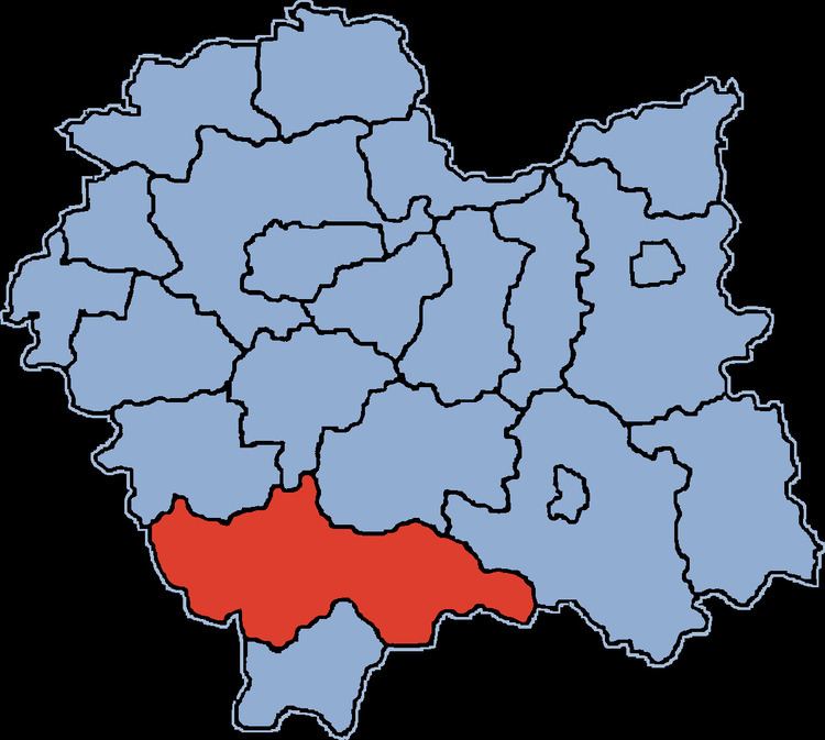
Map of Nowy Targ County, Poland
The county covers an area of 1,474.66 square kilometres (569.4 sq mi). As of 2006 its total population is 181,878, out of which the population of Nowy Targ is 33,493, that of Rabka-Zdrój is 13,031, that of Szczawnica is 7,334, and the rural population is 128,020.
Neighbouring counties
Nowy Targ County is bordered by Sucha County to the north-west, Myślenice County to the north, Limanowa County to the north-east, Nowy Sącz County to the east and Tatra County to the south. It also borders Slovakia to the south.
Administrative division
The county is subdivided into 14 gminas (two urban, one urban-rural and 11 rural). These are listed in the following table, in descending order of population.