
Car plates KMY | Area 673.3 km² | |
 | ||
Gminas Total 9Gmina DobczyceGmina LubieńGmina MyśleniceGmina PcimGmina RaciechowiceGmina SieprawGmina SułkowiceGmina TokarniaGmina Wiśniowa Points of interest Zarabie, Harbutowice ‑ Szklana Gora, Dobczyce Castle, Lubomir, Obserwatorium Astronomiczne im Tadeu Destinations | ||
Myślenice County (Polish: powiat myślenicki) is a unit of territorial administration and local government (powiat) in Lesser Poland Voivodeship, southern Poland. It came into being on January 1, 1999, as a result of the Polish local government reforms passed in 1998. Its administrative seat and largest town is Myślenice, which lies 26 kilometres (16 mi) south of the regional capital Kraków. The county also contains the towns of Sułkowice, lying 10 km (6 mi) west of Myślenice, and Dobczyce, 15 km (9 mi) north-east of Myślenice.
Contents
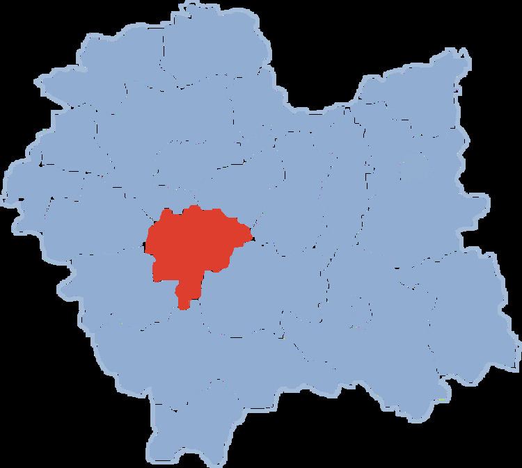
Map of My%C5%9Blenice County, Poland
The county covers an area of 673.3 square kilometres (260.0 sq mi). As of 2006 its total population is 116,793, out of which the population of Myślenice is 18,070, that of Sułkowice is 6,305, that of Dobczyce is 6,028, and the rural population is 86,390.
Neighbouring counties
Myślenice County is bordered by Kraków County and Wieliczka County to the north, Bochnia County and Limanowa County to the east, Nowy Targ County to the south, and Sucha County and Wadowice County to the west.
Administrative division
The county is subdivided into nine gminas (three urban-rural and six rural). These are listed in the following table, in descending order of population.