
Admin. center Novoaidar Postal index 93500—93543 Founded 1923 | Established 1923 Time zone EET (UTC+2) Area 1,536 km² Population 25,294 (2013) Area code 6445 | |
 | ||
Subdivisions List 0 — city councils 1 — settlement councils14 — rural councilsNumber of localities: 0 — cities 1 — urban-type settlements36 — villages 1 — rural settlements | ||
Novoaidar Raion (Ukrainian: Новоайдарський район) is a raion (district) in Luhansk Oblast in eastern Ukraine. The administrative center of the raion is the urban-type settlement of Novoaidar. Population: 25,294 (2013 est.).
Contents
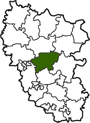
Map of Novoaidars'kyi district, Luhansk Oblast, Ukraine
History
Starting mid-April 2014 pro-Russian separatists captured several towns and raions in Luhansk Oblast; Ukrainian forces reportedly removed the separatists from the last village in the Novoaidar Raion under separatist control, Krymsky, on 20 October 2014.
To facilitate the governance of Luhansk Oblast during the War in Donbass, the Verkhovna Rada on 7 October 2014 made some changes in the administrative divisions, so that the localities in the government-controlled areas were grouped into districts. In particular, the town of Shchastya was transferred from Luhansk Municipality to Novoaidar Raion. Some areas were transferred to the raion from Slovianoserbsk Raion.
Demographics
As of the 2001 Ukrainian census: