
Postal index 93700—93747 Founded 1923 | Established 1966 Time zone EET (UTC+2) Area 829.7 km² Population 55,121 (2013) Area code 6473 | |
 | ||
Subdivisions List 1 — city councils 5 — settlement councils9 — rural councilsNumber of localities: 1 — cities 5 — urban-type settlements45 — villages 4 — rural settlements | ||
Slovianoserbsk Raion (Ukrainian: Слов’яносербський район) is a raion (district) in Luhansk Oblast of eastern Ukraine. The administrative center of the raion is the urban-type settlement of Slovianoserbsk. It was named after Slavo-Serbia, an imperial Russian province that existed between 1753–64. Population: 55,121 (2013 est.).
Contents
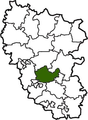
Map of Slov'yanoserbs'kyi district, Luhansk Oblast, Ukraine
History
Since 2014, the raion has been controlled by forces of the Luhansk People's Republic. To facilitate the governance of Luhansk Oblast during the War in Donbass, the Verkhovna Rada on 7 October 2014 made some changes in the administrative divisions, so that the localities in the government-controlled areas were grouped into districts. In particular, some areas were transferred from Slovianoserbsk Raion to Novoaidar Raion.
Demographics
According to the 2001 census in Ukraine, the town had 61,72% Russian-speakers and 37,54% Ukrainian-speakers.
Ethnicity