
Area 373.1 km² | Time zone BST (UTC+6) | |
 | ||
Website | ||
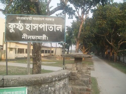
Nilphamari Sadar (Bengali: নীলফামারী সদর) is an Upazila of Nilphamari District in the Division of Rangpur, Bangladesh.
Contents
Map of Nilphamari Sadar Upazila, Bangladesh
Geography
Nilphamari Sadar is located at 25.9417°N 88.8444°E / 25.9417; 88.8444 . It has 58266 households and total area 373.09 km².
Demographics
As of the 1991 Bangladesh census, Nilphamari Sadar has a population of 306051. Males constitute 51.23% of the population, and females 48.77%. This Upazila's eighteen up population is 150237. Nilphamari Sadar has an average literacy rate of 23.2% (7+ years), and the national average of 32.4% literate.
Administration
Nilphamari Sadar has 18 Unions/Wards, 115 Mauzas/Mahallas, and 108 villages.
Education
According to Banglapedia, Nilphamari Government High School, founded in 1882, is a notable secondary school.
References
Nilphamari Sadar Upazila Wikipedia(Text) CC BY-SA