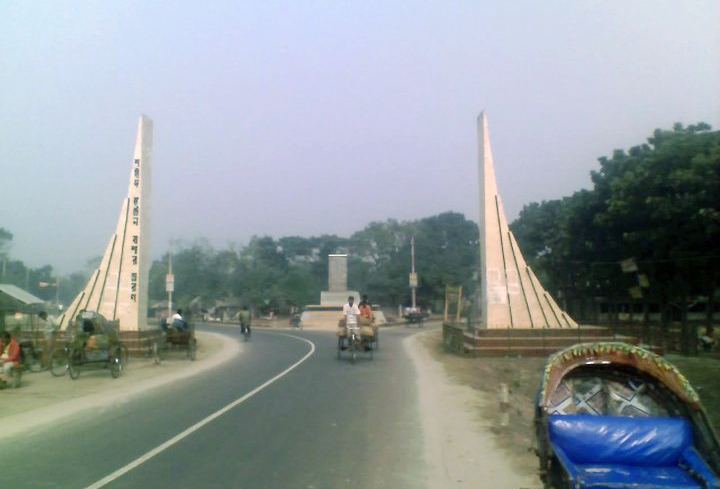
Nilphamari (Bengali: নীলফামারী জেলা, Nilphamari Jela also Nilphamari Zila) is a District in Northern Bangladesh. It is a part of the Rangpur Division. It is 400 km from the capital Dhaka in north and west side. It has an area of 1,547 square kilometres (597 sq mi). Nilphamari is recently marked as education district as it has highest education level in Bangladesh. Nilphamari is bounded by Rangpur and Lalmonirhat in east, Rangpur and Dinajpur in south, Dinajpur and Panchagarh in west, Siliguri of India in north.
Previously Nilphamari was under Rajshahi Division. The Nilphamari subdivision was established in 1875, Nilphamari was a subdivision of Rangpur District. It was turned into a district in 1984. The district consists of 3 municipalities, 33 wards, 65 mahallas, 62 union parishads, 390 mouzas and 370 villages.
The historical Tebhaga movement spread over Domar and Dimla of this district in the 1940s. Once indigo was cultivated extensively in this district. Syedpur is best known for its railway workshop. In 1870, the Assam-Bengal railway set up its largest workshop in Syedpur and many Biharis or Urdu-speakers came to work there. During the British rule the telephone exchange for the whole Assam-Bengal District was also situated in Syedpur. Even it was the largest city of Bangladesh after Dhaka and Chittagong. Syedpur had the first airport in north Bengal. There was a cantonment in British period also.
Nilsagar Nilphamari : Nilsagar a famous historical dighi (big pond) which stands at Dhobadanga mauza of Gorgram union about 14 km southwest of Nilphamari district headquarters. During the reign of Raja Birat there were many cow farms at Gorgram. Raja Birat dug a large dighi named as Birat Dighi or Birna Dighi or Binna Dighi for the cows. After the independence of Bangladesh the dighi was renamed as Nilsagar. A Hindu mandir stands on the east bank and an abode of a Muslim darvesh on the west bank of the dighi. The area of the dighi is 21.449 ha and depth ranges from 7m to 12m. The entire dighi is surrounded by brick walls. The main decorated ghat of the dighi was made by Raja Birat. Every year the banks of the dighi are used as a village fair site especially during the occasion of Baruni Snan festival in full moon of the month of Baisakh. Usually in the fair the Harikirtan singers play music with many kinds of kirtan songs. Every year many tourists and various kinds of migratory birds come here. It is well known as a recreation zone and a picnic spot.The palace of Raja Harish Chandra (ninth century)Garh (Fort) of Raja Dharmapal and his palace (eighteenth century)Three domed Jami Mosque at Bherberi (eighteenth century)Tomb of Hazrat Pir Mohiuddin (Kundupukur)Dimla RajbariSaidpur AirportRailway Factory in SaidpurUttara Export Processing ZoneTeesta BarrageSaidpur Church (1893)Nat Settlement (prison, 1871)Leprosy HospitalChini MosqueNilphamari Government CollegeNilphamari Government Mohila CollegeNilphamari Government High SchoolNilphamari Government Girls' SchoolNilphamari technical school and collegeNilphamari teachers training collegeDomar Government CollegeDomar ML High SchoolDomar Women CollegeDomar Government Girls' SchoolDomar Balika Nikaton SchoolDomar Shohid Smrity Government Primary SchoolSaidpur College