
Population Uninhabited | ||
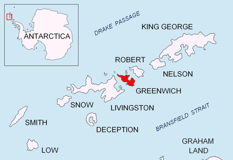 | ||
Nikudin Rock (Bulgarian: скала Никудин, ‘Skala Nikudin’ ska-'la ni-ku-'din) is the high, round rock of diameter 180 m and split in northeast-southwest direction, lying off the north coast of Greenwich Island in the South Shetland Islands. The area was visited by early 19th century sealers.
Contents
Map of Nikudin Rock, Antarctica
The rock is named after the settlement of Nikudin in Southwestern Bulgaria.
Location
Nikudin Rock is located at 62°23′01.7″S 59°50′33″W, which is 2.25 km west-northwest of Emeline Island, 1.3 km north by east of Stoker Island and 4 km east-southeast of Romeo Island, and is separated from neighbouring Holmes Rock to the east-northeast by a 150 m wide passage. British mapping in 1968 and Bulgarian mapping in 2009.
Maps
References
Nikudin Rock Wikipedia(Text) CC BY-SA