
Population Uninhabited | Island group South Shetland Islands | |
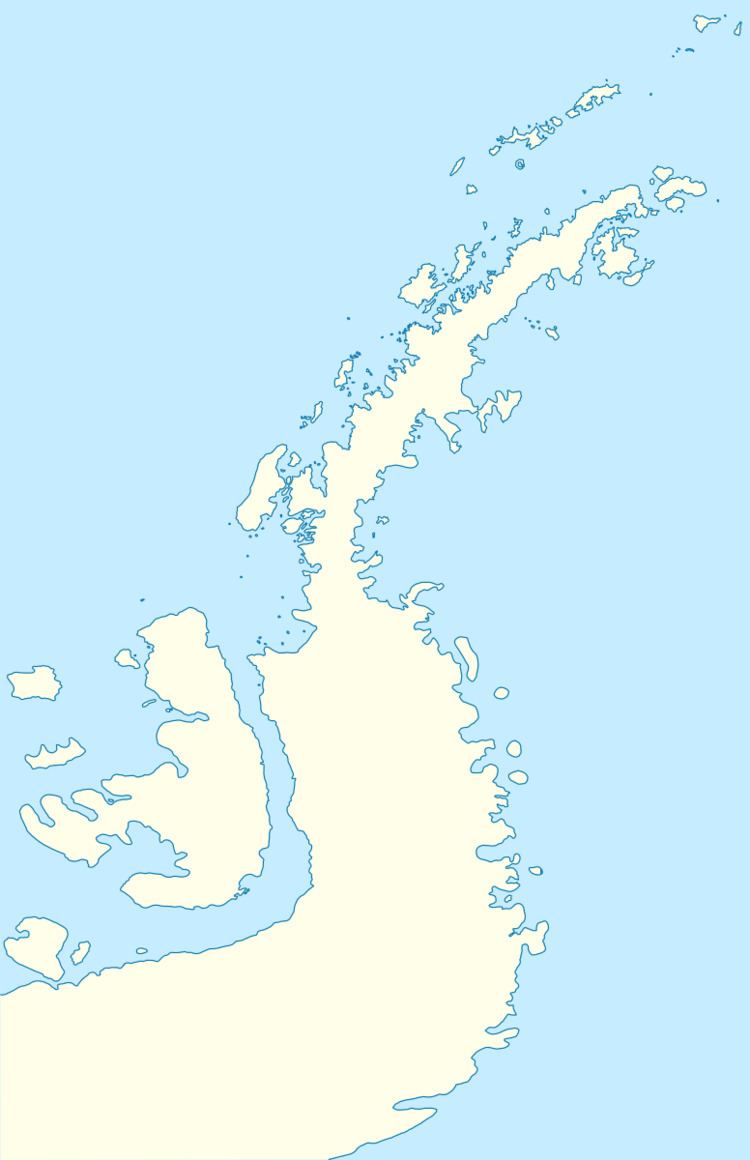 | ||
Holmes Rock is rising to 45 m (49 yd) north of Greenwich Island and west of Aitcho group in the South Shetland Islands, Antarctica. The area was visited by early 19th century sealers.
Contents
Map of Holmes Rock, Antarctica
The feature is named after Captain Jeremiah Holmes, Master of the American sealing vessel Emeline that visited the South Shetlands in 1820-21 and operated from nearby Clothier Harbour.
Location
The rock is located 2.3 km (1.43 mi) west of Riksa Islands, 2.1 km (1.30 mi) west-northwest of Emeline Island, 1.53 km (0.95 mi) north-northeast of Stoker Island, 4.4 km (2.73 mi) east-southeast of Romeo Island, 4.15 km (2.58 mi) south by west of Table Island and 2.55 km (1.58 mi) southwest of Morris Rock. It is separated from neighbouring Nikudin Rock to the west-southwest by a 150 m wide passage (British mapping in 1968, Chilean in 1971, Argentine in 1980, and Bulgarian in 2005 and 2009).