
Total islands 30 District Nicobar Area 1,648 km² Area code 03192 | Highest elevation 642 m (2,106 ft) Elevation 642 m Postal code 744301 | |
 | ||
Major islands Car NicobarGreat Nicobar | ||
Nicobar district is one of three districts in the Indian Union Territory (UT) of Andaman and Nicobar Islands. The district's administrative territory encompasses all of the Nicobar Islands, which are located in the Indian Ocean (Bay of Bengal, bordering with the Andaman Sea). The headquarters of the district is located on the island of Car Nicobar.
Contents
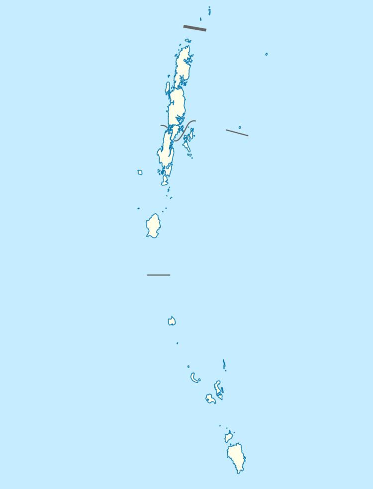
- Map of Nicobar Andaman and Nicobar Islands
- Etymology
- History
- Geography
- Demographics
- Administrative divisions
- References
Map of Nicobar, Andaman and Nicobar Islands
The district administration is headed by a Deputy Commissioner, who in turn reports into the Lt. Governor of the Andaman and Nicobar Islands.
It is the fifth least populous district in the country (out of 640).
Etymology
Falling between the sea route from South India / Sri Lanka to South East Asia and vice-vers, the voyagers referred it as “land of the nake” i.e. Nakkavar which is perhaps the direct Predecessor of the current name “Nicobar’. The medieval Arabic name ‘Lankhabatus’ is a mere mistranscription and misapprehension of “Nankakar or Nakkavar”.
History
The district was created on August 1, 1974, when it was separated off from Andaman district.
Geography
Nicobar district occupies an area of 1,648 square kilometres (636 sq mi), comparatively equivalent to Mauritius.
Demographics
According to the 2011 census Nicobar district has a population of 36844, roughly equal to the nation of Liechtenstein. This gives it a ranking of 636th in India (out of a total of 640). The district has a population density of 20 inhabitants per square kilometre (52/sq mi) . Its population growth rate over the decade 2001-2011 was -12.48%. Nicobars has a sex ratio of 778 females for every 1000 males, and a literacy rate of 77.5%.
The district is designated as an Integrated Tribal District, and is home to significant numbers of indigenous peoples (namely, the Nicobarese and the Shompen, classified as Scheduled Tribes according to the Constitution of India), who form the majority of the district's population. Because of its status as a tribal area, travel to the district is restricted to Indian nationals, and special permit restrictions apply.
The district was severely affected by the tsunami that was caused by the 2004 Indian Ocean earthquake, which led to many deaths and damaged infrastructure.
Administrative divisions
As of 2016, The Nicobar district is divided into 3 sub-divisions and 7 taluks (tehsils).