
Elevation 435 m Max length 24 km Postal code 744301 | Total islands 1 Width 12 km (7.5 mi) Area 140 km² Literacy 84.4% Area code 03192 | |
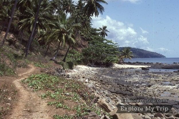 | ||
Little Nicobar (Nicobarese: Ong) is one of the Nicobar Islands, India.
Contents
- Map of Little Nicobar Andaman and Nicobar Islands 744302
- History
- Geography
- Demographics
- Administration
- References
Map of Little Nicobar, Andaman and Nicobar Islands 744302
History
The 2004 Indian Ocean earthquake and tsunami caused extensive damage to this island.
Geography
Little Nicobar Island's area is 140 km2 (54 sq mi). There are a few smaller islands of Little Nicobar's shores: Menchal, Pulomilo, Treis/Albatei, Trak/Mafuya and Meroe. The island of Katchal is located 56 km (35 mi) to the north.
Demographics
According to the 2011 census of India, Little Nicobar Island has 278 villagers in 59 households. The effective literacy rate (i.e. the literacy rate of population excluding children aged 6 and below) is 100%. Pulopanja, Puloulo, and Makhahu (Victoria Harbour) are the main villages on the island.
Administration
The island belongs to the township of Great Nicobar of Little Nicobar Taluk.