
Time zone AST (UTC−4) Area 200 ha Local time Saturday 5:07 AM Area code 506 | Founded 1898 Highways Route 11 Route 15 Route 132 Population 200 (2011) | |
 | ||
Weather -1°C, Wind SW at 11 km/h, 91% Humidity Parish Shediac Parish, New Brunswick | ||
History
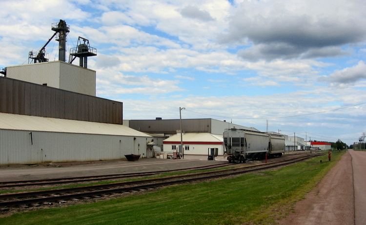
Located near Scoudouc River, 6.13 km SSW of Shediac: Shediac Parish, Westmorland County: William Francis Ganong identified the Mi'kmaq name for Scoudouc River as Oumskoodook: PO Scadouc 1890-1932: in 1898 "Scadouc" was a farming and lumbering settlement with 1 store, 1 sawmill, 1 church and a population of about 200: also called Bellevue Settlement: included the community of Dorchester Crossing: PO from 1885: in 1898 Dorchester Crossing was a farming and lumbering settlement with 1 post office, 1 sawmill, 1 grist mill and a population of 250: PO Scoudouc 1932-1961.
Places of note
References
Scoudouc, New Brunswick Wikipedia(Text) CC BY-SA