
PIN 670650 Local time Thursday 4:02 PM | Time zone IST (UTC+5:30) Telephone code 04902302xxx ISO 3166 code ISO 3166-2:IN | |
 | ||
Weather 32°C, Wind W at 13 km/h, 60% Humidity | ||
Nedumpoil is a small village in the Kannur district of Kerala, South India. It is situated between two major towns, Thalassery and Mananthavady.
Contents
Map of Nedumpoil, Kerala 670650
Border town
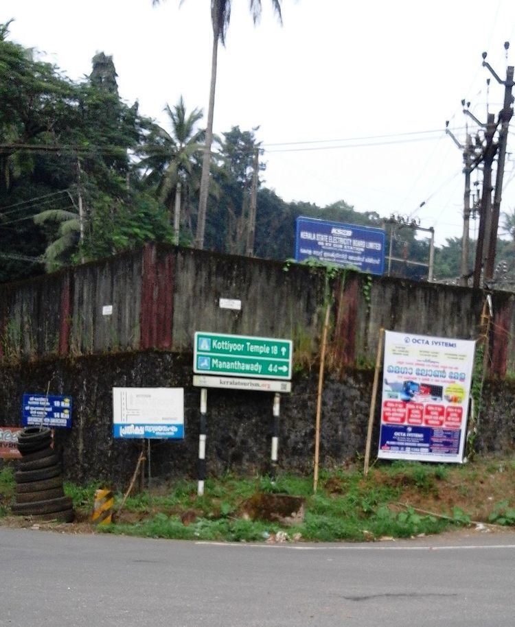
Nedumpoil sits at the junction of roads from Thalassery (through Kuthuparamba) to Kottiyoor and Manathavady. An electrical substation is located there, which provides power for the nearby areas - Kolayad, Kommery, Peravoor, Thundiyil, Kottiyoor, Nedumpuramchal, Elapeedika, Perumthody, Poolakutty etc. There is a goat farm at Kommery near to nidumpoil.
Nedumpoil is a convenient stopping point for vehicles traveling to Mananthavady and Sultan Bathery, because after that point the road is more difficult.
Transportation
The national highway passes through Kannur town. Mangalore and Mumbai can be accessed on the northern side and Cochin and Thiruvananthapuram can be accessed on the southern side. The road to the east connects to Mysore and Bangalore. The nearest railway station is Kannur on Mangalore-Palakkad line. There are airports at Mangalore and Calicut.