
PIN 670643 Elevation 76 m Local time Sunday 2:10 PM | Time zone IST (UTC+5:30) Vehicle registration KL 13 / KL 58 Population 29,532 (2001) ISO 3166 code ISO 3166-2:IN | |
 | ||
Weather 32°C, Wind W at 19 km/h, 60% Humidity University Nirmalagiri college, Kuthuparamba | ||
Kuthuparamba is a town and a municipality in the Kannur district, state of Kerala, India.
Contents
- Map of Kuthuparamba Kerala
- General Background
- Etymology
- Geography
- History
- Demographics
- Political violence
- Transportation
- Linkage Connectivity
- Educational Institutions
- Temples
- Pilakoottam Makham Masjid
- Kottiyoor Mahadeva Temple
- Political parties
- References
Map of Kuthuparamba, Kerala
General Background
Kuthuparamba is one of the main town and a municipality in the Kannur district, state of Kerala. Kuthuparamba was established as municipality on 01.04.1990.Kuthuparamba is a main town, even though the village behaviour persists. Kuthuparamba is the place having a total area of 16.76sq.km. The density of population is 1767 persons/sq.km. The population consists of Hindus, Muslims, and Christian communities and is characterized by distinct socio-cultural customs and behaviour. The people have striven to preserve their distinct and unique identity and heritage since ancient times. Kuthuparamba is a region comprising hills, agricultural lands, valleys, plain lands, and small streams. Kuthuparamba has an average elevation of 76 m. The Kuthuparamba cantonment of the British Raj was located here. The Indian Army holds land here. As of 2011 India census, Kuthuparamba had a population of 32405. Males constitute 45% of the population and females 55%. Kuthuparamba has an average literacy rate of 96%, higher than the national average of 59.5%: male literacy is 87%, and female literacy is 84%. In Kuthuparamba, 10% of the population is under 6 years of age. The Kuthuparamba Municipal building is situated in the Thalassery Coorg road which connects to Karnataka. Kuthuparamba act as a hangout for those travelling to Karnataka, Mysore, Bangalore and Wayanad. The famous Valiyavelicham industrial sector is only 6km away from Kuthuparamba Municipality. The upcoming Kannur international airport is only 15km away from Kuthuparamba.
Etymology
The name Kuthuparamba derives from "kuthu" (a folk dance) and "paramba" (ground); this is the place where performances took place in the time of the Pazhassi Raja. Currently, Kuthuparamba is a small piece of land behind Gokul Street owned by the Government, on which Government officers are located. This name was given to the complete area by the British Raj. At the end of 18th century, Kingdom of Kottayam malabar gave the Kuthuparamba municipal ground and the nearby places to the British army.
Geography
North region of Kuthuparamba municipality includes Mangatidom, Chitariparamb and Pattyam Gramapanchayath. South region includes Pattyam Gramapanchayath, the west region includes Pattyam, Kottayam and Mangatidom Gramapanchayath. Kuthuparamba is a region comprising hills, agricultural lands, valleys, plain lands, and small streams. Most of the people in the region are farmers and also in trading business. Kuthuparamba is a hill town and it does not have any river which flows through the region.
History
History of Kuthuparamba is closely related with Kottayam dynasty. Old Kolathunadu kingdom was an area lying spread between Korappuzha in the south and Kasargod in the north. Since the British captured Kuthuparamba area, the area fell under British rule was formed as Kottayam taluk. This taluk was in existence unto 1956. Due to the geographical features, the British made Kuthuparamba a notable military camp. In order to ensure the availability of milk and clothes to the soldiers, they encouraged the herdsman and weavers to live around Kuthuparamba town. Gokul Street and Weavers street are the result of this attempt made by the British Military Force. Agriculture was the main occupation of the people, but now it has been reduced very drastically due to overall growth in the economic condition. Kuthuparamba have a leading role in the war which happened between Tippu sulthan & British Government. The Thalassery – Coorg road which was made by the British for sending troops to Mysore also plays an important role in the history of Kuthuparamba. Kuthuparamba was formed as Panchayath in the year 1939 by fixing Kuthuparamba revenue village as its boundary. The first president of the Panchayath was Dr. C. Kumaran and Sri. V.K.Chandu was the last President of Kuthuparamba Panchayath. Kottayam dynasty had given much importance to the fine arts of Kathakali and Koothu. It is believed that the name Kuthuparamba was derived from the words ‘Koothu’ and ‘paramba’ (the ground where the Koothu was performed). This name was given to the complete area by British Military, there was a cantonment and was known as Kuthuparamba Cantonment. Now also there is some land owned by Military in Kuthuparamba. The remnants of past history are still alive in the structure like Court complex, Inspection Banglow, Maroli ghat etc
Demographics
As of 2011 India census, Kuthuparamba had a population of 32405.Kuthuparamba is the 3rd populated region in Kannur district. Males constitute 45% of the population and females 55%. Kuthuparamba has an average literacy rate of 86%, higher than the national average of 59.5%: male literacy is 87%, and female literacy is 84%. In Kuthuparamba, 10% of the population is under 6 years of age.
Political violence
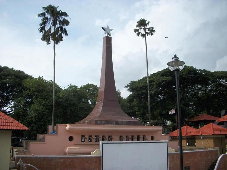
This area is an epicenter of political violence between Hindus and Communists. Communist Party of India (Marxist) (CPI(M)) and the Hindus-led Rashtriya Swayamsevak Sangh (RSS) have been fighting in this area for supremacy for the last 50 years. Clashes in 2008 left seven people killed and many have been injured. The High Court of Kerala called this manslaughter a “compelling sport” and suggested permanent deployment of Central forces in the affected areas. Kuthuparamba assembly constituency is part of Vatakara Lok Sabha constituency. The present MP of Vatakara Lok Sabha constituency is Mullappally Ramachandran Indian National Congress. The present MLA of Koothuparamba assembly constituency is K. K. Shailaja CPI (M), who is the present Health and Social Welfare Minister of the Kerala Assembly.
Koothuparamba is notorious for the police action that took place on November 25, 1994. It, known as the Koothuparamba firing, took place at Tellicherry Road, in the Kannur district of Kerala. The police fired at the crowd of DYFI activists who gathered to disrupt the inauguration of the Co-operative Urban Bank’s evening branch by the then state minister M. V. Raghavan, for both the protection of the Minister and public and private property. Five Democratic Youth Federation of India activists were dead and six people were injured.
Transportation
Thalassery is the nearest railway station, 13 km away from the town. Kuthuparamba is a town en route Thalassery-Coorg(SH30) road (commonly known as TC Road). Nearest airport is at Kozhikode. The proposed Kannur International Airport is near to Kuthuparambha. It has the road connectivity with major tourist attractions like Aralam, Mysore, Ooty, Bangalore etc.
Linkage & Connectivity
Kuthuparamba town is a major junction well connected by two state highways and a major district road to Wayanad. Thalassery is the nearest railway station, 13 km away from the town. Kannur international airport is located only 15km away from the town.There are two state highways passing through the town, namely SH-30 (Thalassery – Coorg inter-state highway) and SH-38 (Kannur – Kuttiyadi road). These two roads act as major corridors of the town and possess good connectivity. Considerable volume of traffic from Karnataka passes through the town. In addition to this, other district roads and municipal roads exist within the town.
Educational Institutions
1. MG college Kuthuparamba
2. Gramika Institute
3. College of Applied Science (IHRD) Kuthuparamba
4. Nirmalagiri College
5. Brainstorm bank coaching centre in kuthuparamba
6. Kuthuparamba UP School
7. South Kuthuparamba U P School
8. AMRITA VIDYALAYAM Kuthuparamba
9. Government Higher Secondary School
10 Rani Jai Higher Secondary School
11. MES College Naravoor
12. ATDC Valiyavelicham
13.Sree Narayana English Medium High school
Temples
Trikkaikunnu Mahadeva temple, Sree Vazhumcherry Kavu,Ramapuram Shiva-Vishnu Temple, Neelakkarigali Temple, Kaitheri Edam,Shree Maha Ganapathi Temple, Chandra Shekharan Theru, Pookode, Terur Ganapathi temple, Thykandy Madapura(naravoor), Chathady manakkal, Palayi Kavu ,makkutti kavu, Thrikannapuram Kurmba kavu.
1. Church At Kuthuparamba and Nirmalagiri
2. Pilakoottam Makham Masjid
3. Kuthuparamba muslim jama'ath masjid
4. Shamasul Ulama Academy, Naravoor road
5. Mooriyad Juma Masjid .
6. Pazhayanirath Juma Masjid.
7.Naravoor Vishnu Kshetram
8.Chathadimanakkal
9.Mankulath Bhagavathi Kavu
10.Koormba Bhagavathi Kavu
11.Thaikandi Madappura
Pilakoottam Makham Masjid
Pilakootam makham is located at near by the Koothuparamba police station. Makham Uroos is a huge Islamic religious function attracting thousands of muslims people.
Kottiyoor Mahadeva Temple
Kottiyoor Mahadeva Temple is located 44 km east of Kuthuparamba. Kottiyoor Vysakha Mahotsavam is a huge religious pilgrimage attracting thousands of pilgrims. It is a festival commemorating the Daksha yaga.