
 | ||
Elapeedika is a village in the southwestern state of Kerala, India.
Contents
Map of Elapeedika, Kerala 670673
Geography
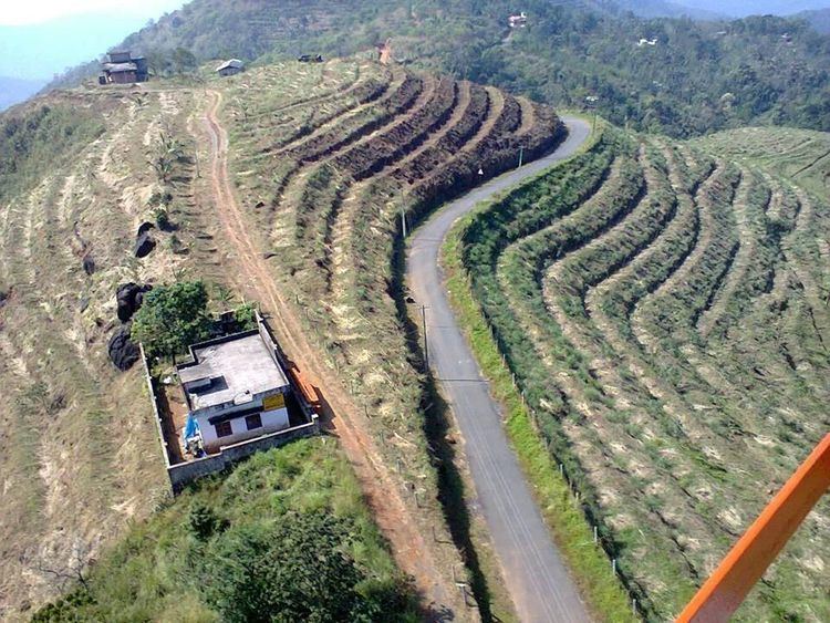
Elapeedika is situated around 1000 m above sea level, in the Western Ghats range of mountains and is a hill station.
Etymology
The name Elapeedika is derived from the words Elam(i.e., Cardamom) and Peedika(i.e., Shop) There was a lot of cardamom plantation in the olden times.
History
Pazhassiraja's force and East India Company had fought a battle in the 18th century at the Periya pass in Elapeedika.
Transportation
The national highway passes through Kannur town. Mangalore and Mumbai can be accessed on the northern side and Cochin and Thiruvananthapuram can be accessed on the southern side. The road to the east of Iritty connects to Mysore and Bangalore. The nearest railway station is Kannur on Mangalore-Palakkad line. There are airports at Mangalore and Calicut. Elapeedika is situated on the Iritty Taluk in Kannur District and is the highest place in the district.
Location
Elapeedika is situated near Poolakutty at Nedumpoil in Iritty, Kannur district, Kerala state, India. It is the highest place in Kannur District and most beautiful. One can see the whole area of Kannur district and Arabian Sea from here
It has a Roman Catholic church dedicated to St Sebastian.