Population 400 (2006 census) Local time Tuesday 2:01 AM | Postcode(s) 3494 Postal code 3494 | |
 | ||
Weather 24°C, Wind N at 8 km/h, 65% Humidity | ||
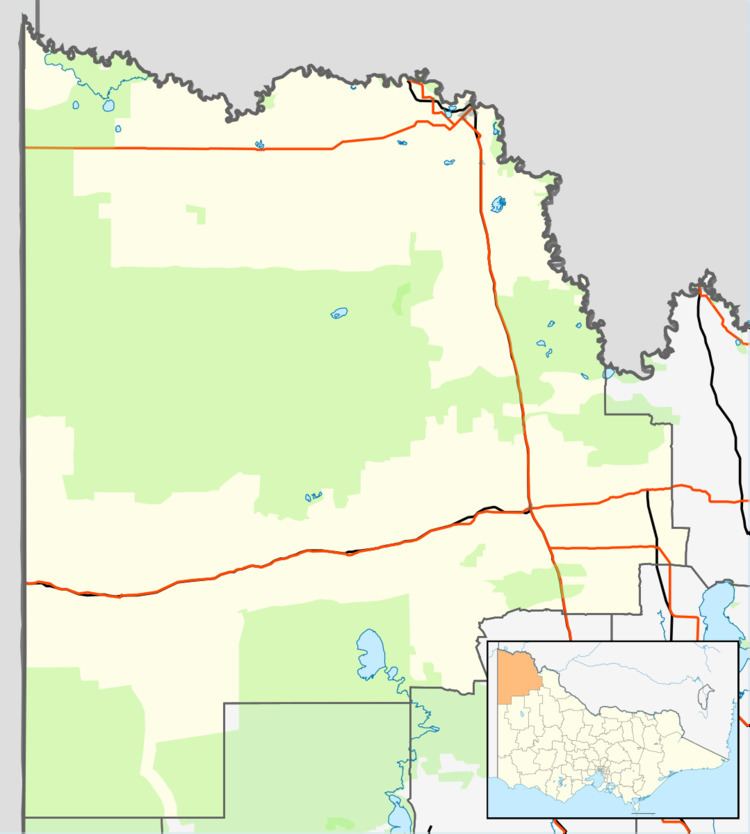
Nangiloc is a small rural community in North Western Victoria on the south (left) bank of the Murray River, about 50 km south east of Mildura. Primarily an agricultural settlement, at the 2006 census, Nangiloc and the surrounding area had a population of 400.
Map of Nangiloc VIC 3494, Australia
Nangiloc and nearby localities Iraak and Colignan were established as soldier settlement farming areas after World War I, road access to the area being from the west via Boonoonar on what is now the Calder Highway. The Post Office opened on 22 September 1922, the same day as that of Iraak, and closed in 1960.
Irrigation from the Murray and rich local soil has allowed for diverse crops. The area has become increasingly well known for its gourmet wines and fresh fruit industries. Also many niche agricultural goods are produced in this area. Crops like avocado, pistachio and almonds are well established.
The area is also well known as a camping destination. There are many bush reserves along the banks of the Murray river that showcase the Mallee bush and its subtle beauty.
Nangiloc has an Australian Rules football team competing in the Millewa Football League.
Next to Nangiloc is the town Colignan. Both small towns border onto each other and are quite similar in many respects. They now share a primary school and other services. The two towns' names are spelt the same only backwards.
