
Population 204 (2006 census) Local time Thursday 8:44 AM | Postcode(s) 3494 Postal code 3494 | |
 | ||
Weather 20°C, Wind NE at 0 km/h, 44% Humidity | ||
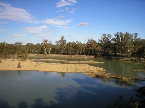
Colignan is a small rural town on the banks of the Murray River, in North Western Victoria, Australia. The town is on the border of the Hattah-Kulkyne National Park. At the 2006 census, Colignan and the surrounding area had a population of 204.
Contents
Map of Colignan VIC 3494, Australia
The closest town to Colignan is called Nangiloc which is Colignan spelt in reverse.
History
Colignan and nearby localities Nangiloc and Iraak were established as soldier settlement farming areas after World War I, road access to the area being from the west via Boonoonar on what is now the Calder Highway. A Post Office opened on August 22, 1922 marking the beginning of postal services to the area. It closed in 1988.
In common with many other soldier settlement areas the blocks provided were too small to be viable and most original settlers had left by the mid-1930s and were replaced by a later generation using irrigation.
The town today
The economy of the town is based on primary industry, mostly citrus and grape growing. Avocados and almonds are also well represented. The rich soil and the proximity to the Murray River have allowed farming of a diverse range of crops. Dry land farming in the area consists of mainly wheat and barley.